
*2019 Addendum: We’ve now had a few days to rehydrate after that uncomfortable Frito Boat/contact buzz camping incident which precipitated the end of last week’s episode of Throw Back Travel. Let us never speak of it again. (At least the beer’s not hopped up!!! Get it?!? Ahhh, that was classic. OK, let us never speak of that again starting… now.) Let us rejoin the adventure-in-progress, where we find our substantially-less-grey nomads exploring the breathtaking beauty of the Rockies.


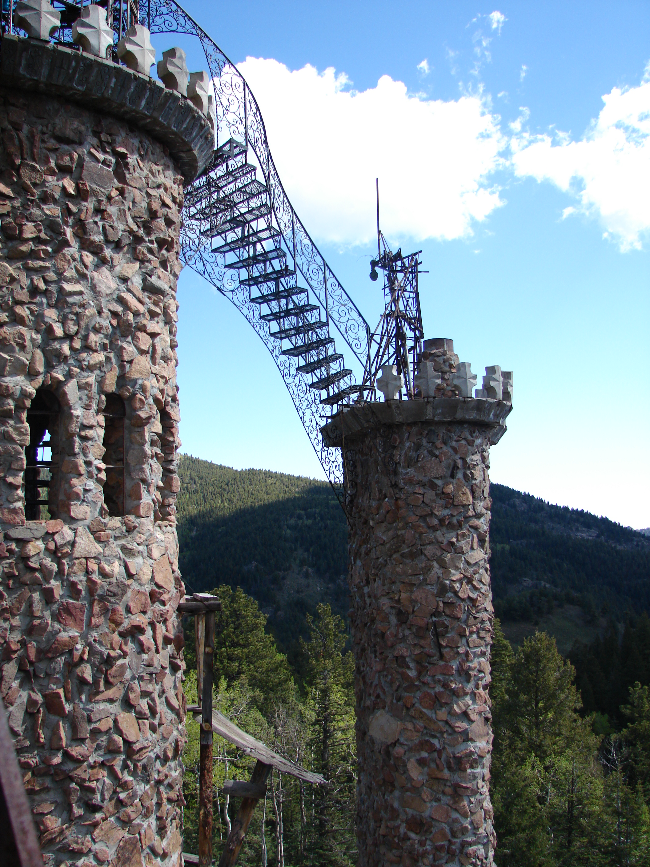
After our harrowing camping adventure, we were all too happy to hit the road. Our first stop that morning was a GPS point in the mountains of Colorado, and we certainly enjoyed the ride up there. But this time our destination was far more than we anything had expected. We arrived at Bishop Castle (which neither of us had ever heard of before pulling up in front of it), and were immediately awestruck. This entire castle is the work of one man – Jim Bishop – and has been a work in progress since the 60’s.
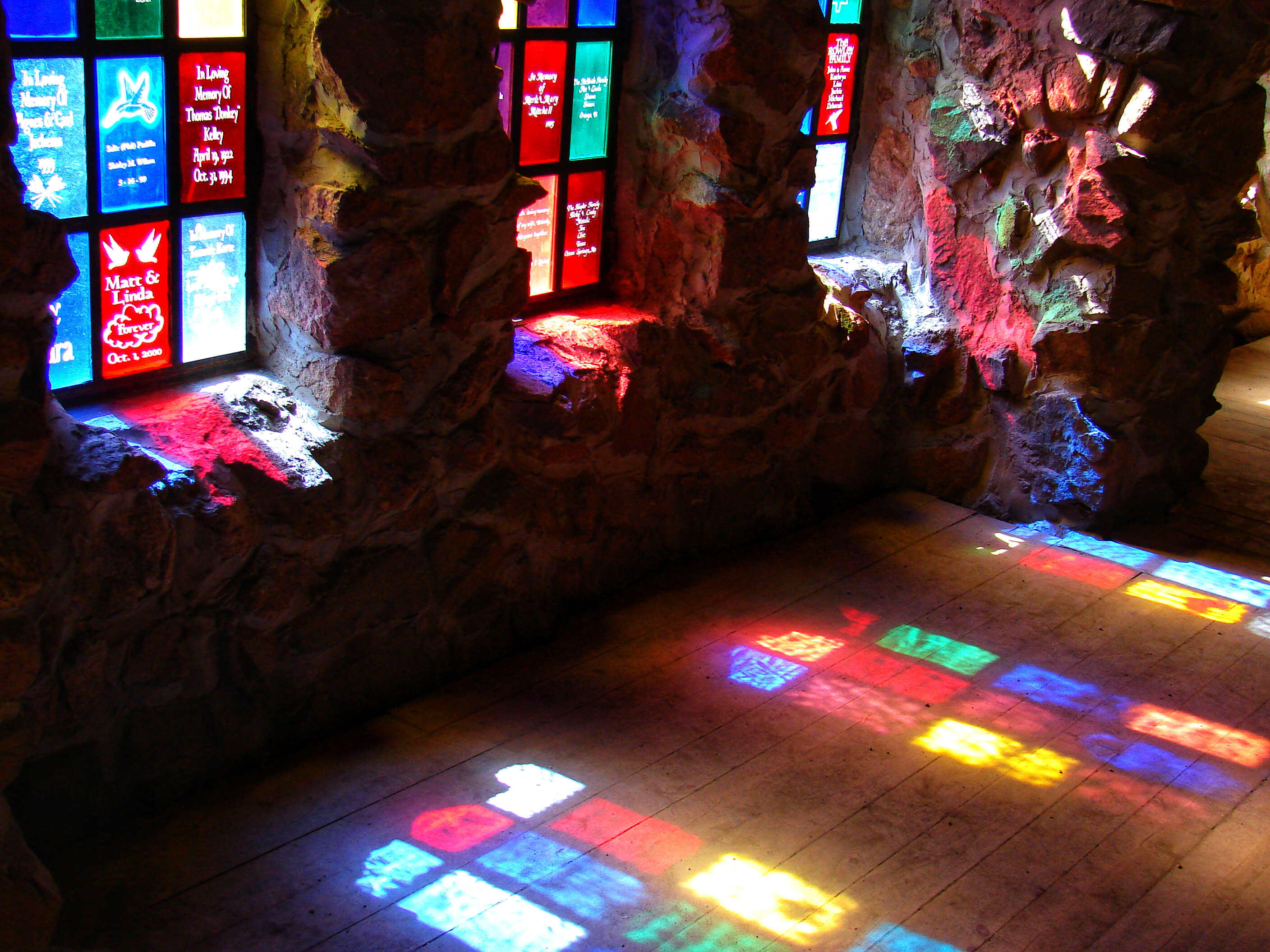


The castle’s website, www.bishopcastle.org, seemed to be having difficulties last time I tried to visit, but you can also check out roadsideamerica.com for some great castle history. What more can I say – just enjoy the pictures!


Our bikes from the top of the tower 
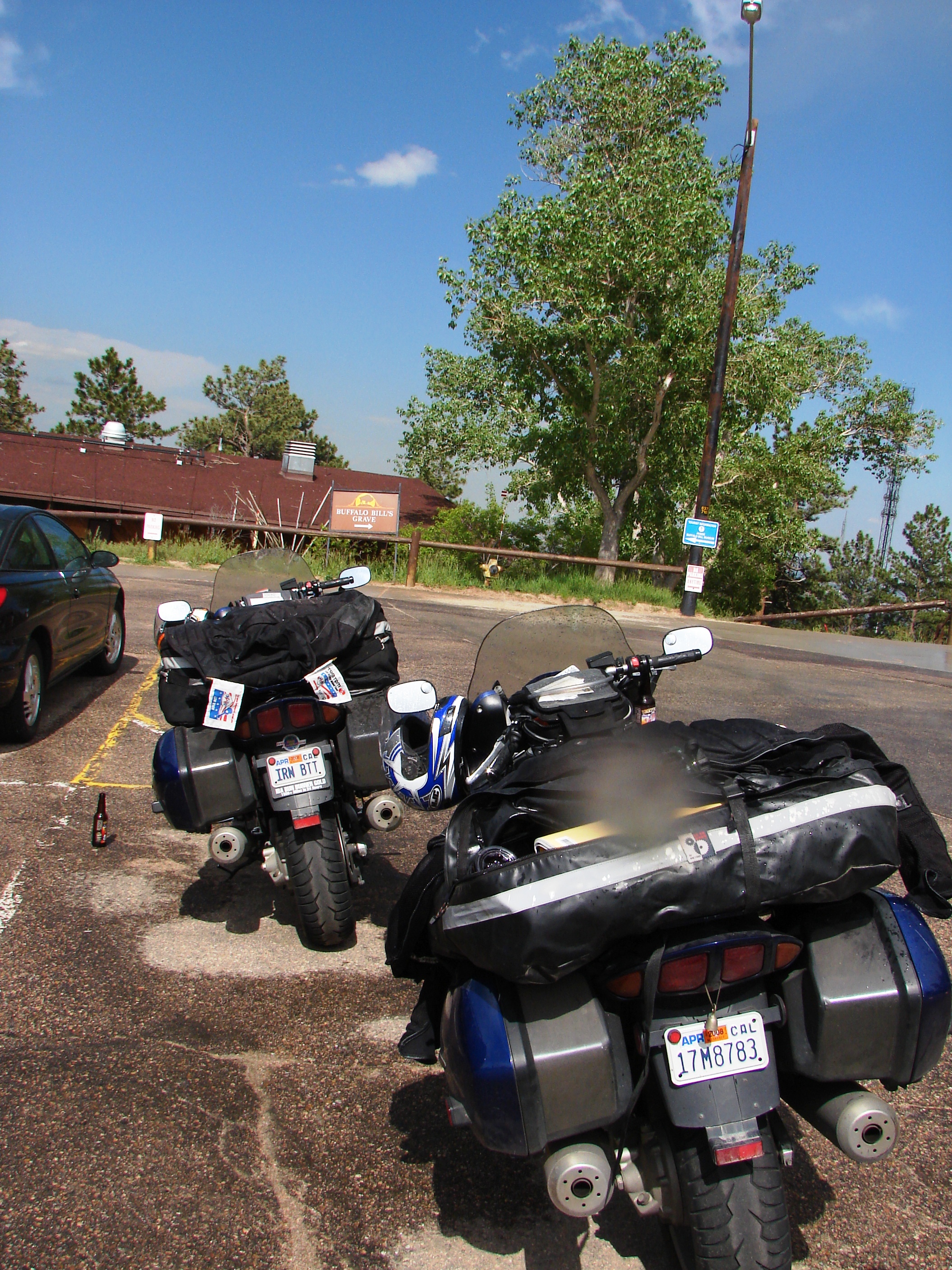
Continuing our journey through Colorado, we made our way to the next GPS waypoint – the grave of Buffalo Bill. We’ve been dodging the worst of the bad weather for most of this trip, but every once in a while it reminded us that it wasn’t too far off. After scooting under a mean-looking storm on the way up, we came out from the museum to find that a little bit of the rain had stuck around for us.

We had hoped to visit some of Mike’s family in the area, but with all the weather-related itinerary modifications, we were running a bit behind schedule and couldn’t catch them while we were passing through. Oh, well – there’s always next time! (And since we LOVE riding in Colorado, there certainly will be a next time.)
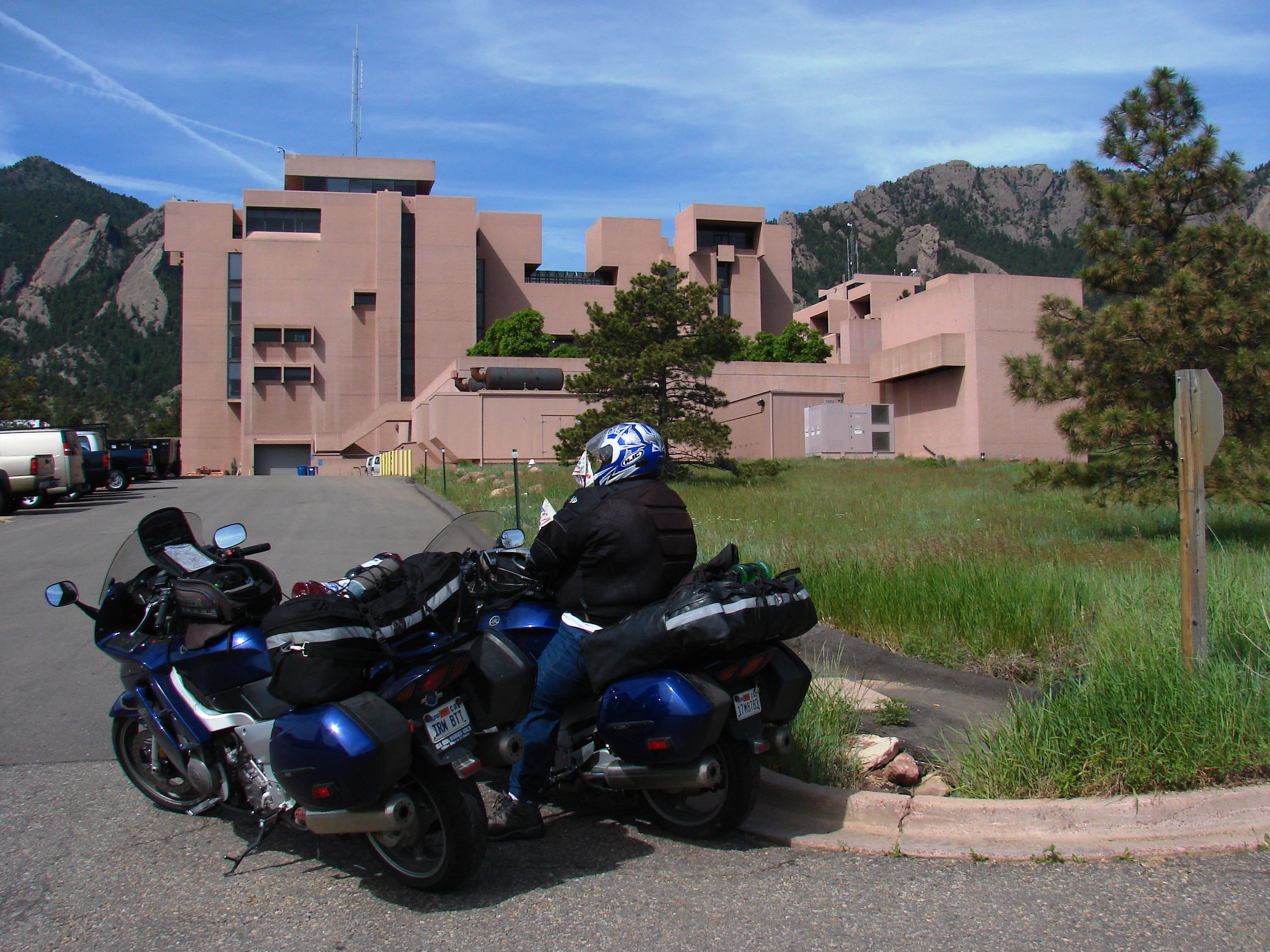
Another stop, another GPS point – this time at an Atmospheric Phenomenon Research Facility west of Denver.
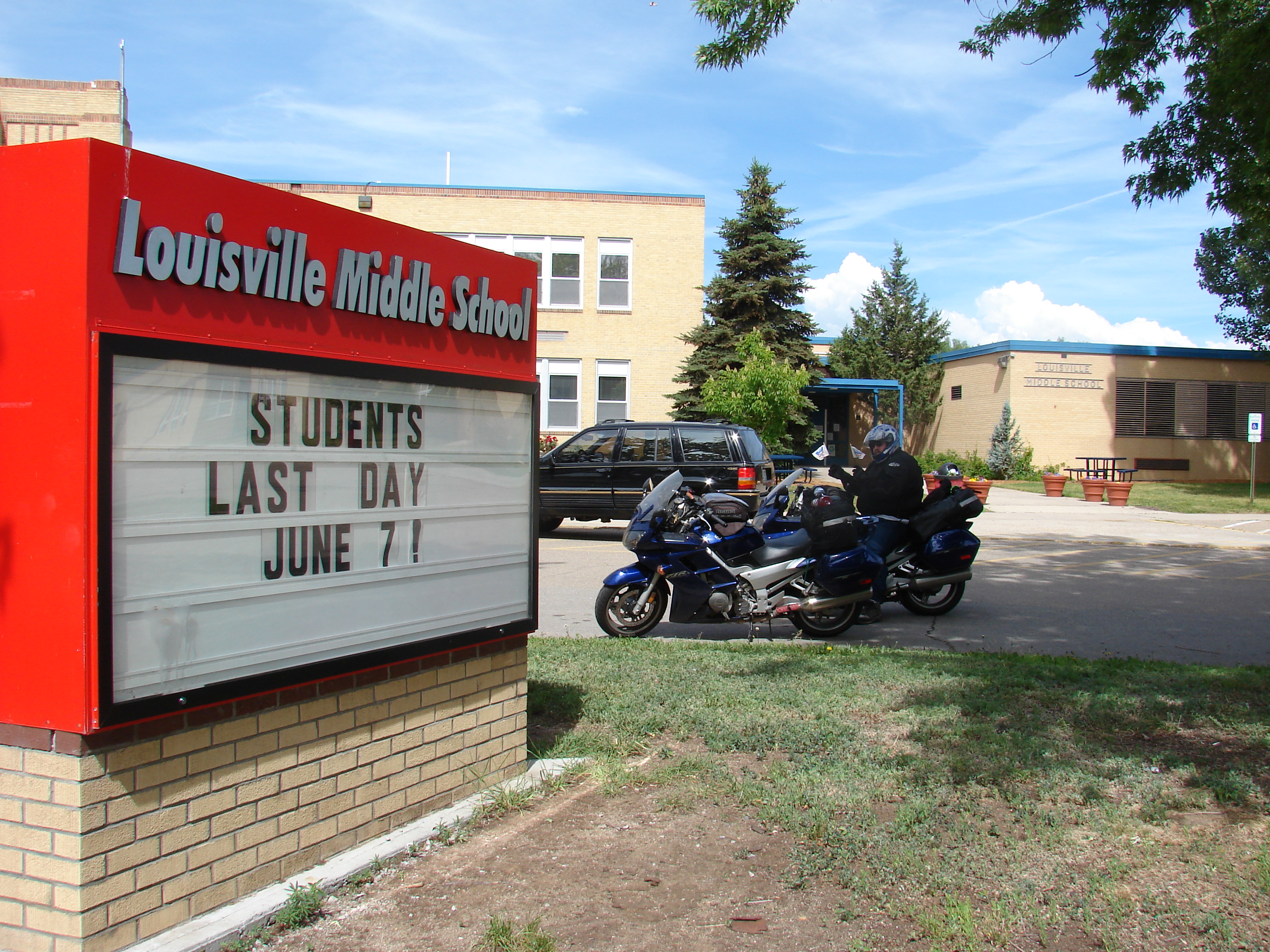
Not too far down the road, we picked up Louisville for three more IBE points.
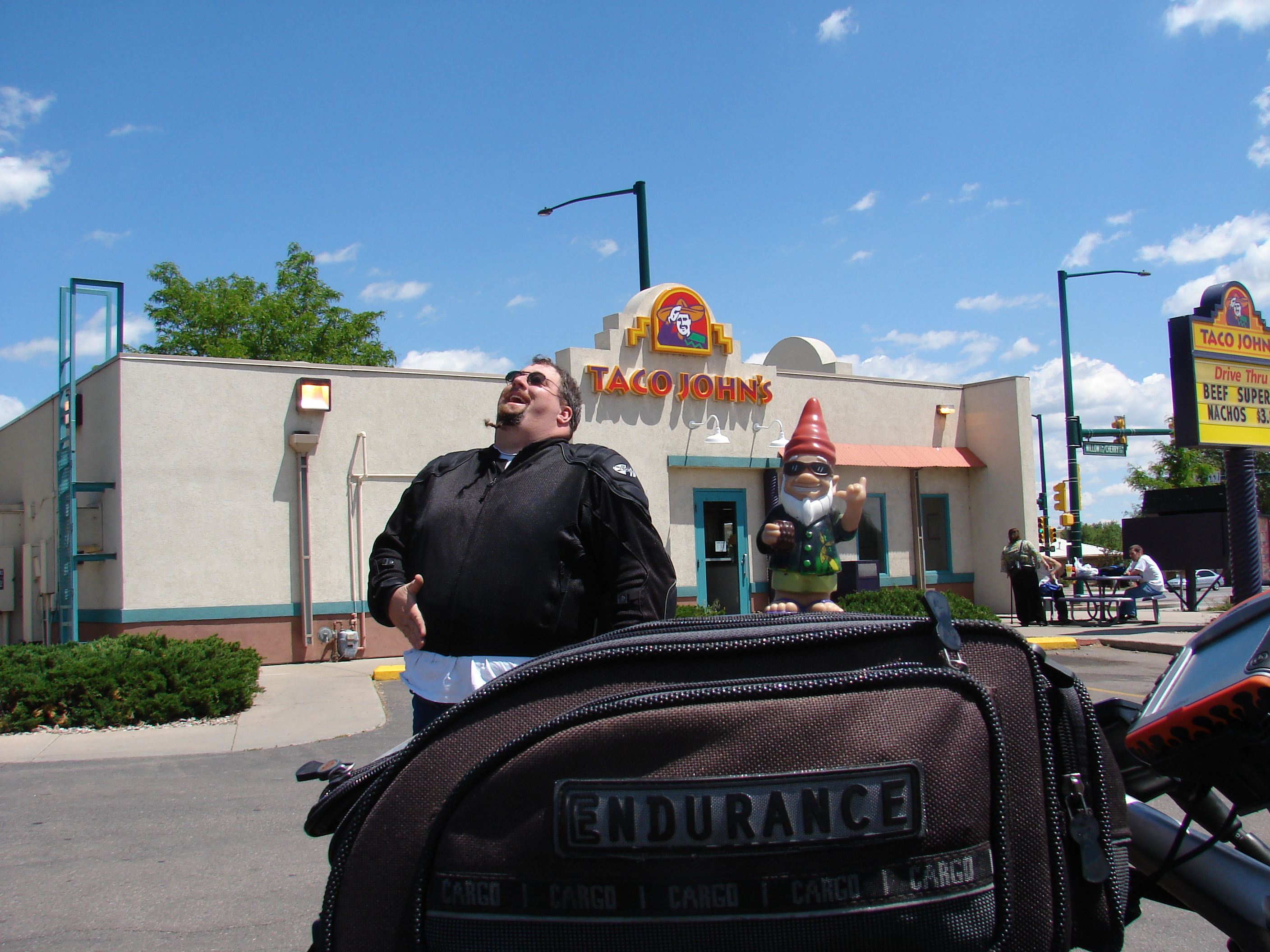
After working our way up past Fort Collins and hitting the back roads once again, we made what was quite possibly the single most important stop on our entire trip: Taco Johns! At the behest of my slightly looney husband, I actually paid $5 to download a set of custom POIs (Points of Interest) to the Zumo; when we were within 30 miles of a Taco Johns, Zumo would let us know. (I even modified it to show a little picture of a dancing taco on the map at the location of the Taco Johns. Hey, I readily admit it – I’m a little looney too.) We had to pass up the first Taco Johns we saw due to poor planning (we had eaten breakfast just outside the 30 mile alert radius), but this time we were on it like… well, like hicks on a taco burger. Ain’t nothin’ wrong with that.
(Mike actually just walked in the room right now while I was creating this portion of the site and said, “Mmmmmmm… Taco Johns. I miss you Taco Burger.” Obsessed, that man is. Completely obsessed.)

Following a hearty breakfast of Taco Burgers and Potatoes Ole, we cruised on to hit another GPS point. The road leading to the point followed a river for about 2 1/2 hours, and we could have easily been right here at home riding along the Kern River. Needless to say, it was just beautiful. The GPS point itself was a little lacking, however – an empty meadow 8 miles up a slippery-slick dirt road, thanks to a full day of intermittent sprinkles. Hmmm… Could have passed on that, but hey – three points is three points. Besides, we’ve ridden worse.


Oh, was I just complaining about a little dirt road just now? Well, Zumo seemed to be on a roll because despite the fact that I had specifically asked it not to route us on dirt roads, it kept insisting that we travel on dirt roads. (I guess it just wanted to test it’s level of impact resistance.) Finally, after a few hours of Zumo calling us pansies and threatening to tell all our friends, we agreed to take one of the dirt roads. Ultimately, we were glad we took to road less travelled; the surface was fairly well maintained, but the views were outstanding. Even the rain looked amazing across the sweeping valleys. There was also quite a bit of wildlife – deer, hawks, voles. I guess it goes to show you, Zumo really does know what he’s talking about.

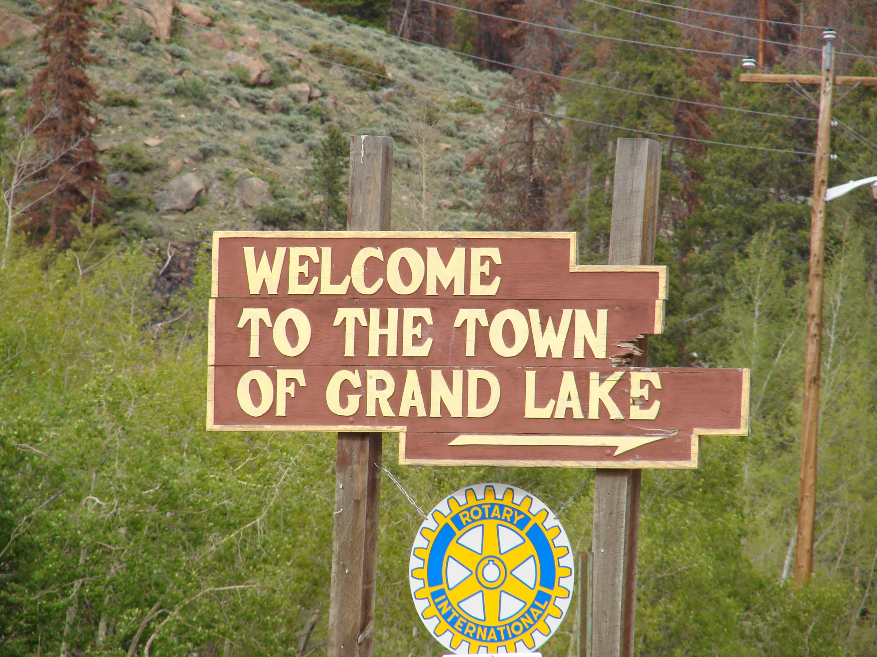
Back on asphalt, it was only a short ride to reach IBE point Grand Lake, Colorado. With the drizzly day and heavy rains elsewhere in the state, the ride was even graced with several pretty little waterfalls. Boy, not a bad ride for a rainy day!
The next day was one of great extremes. We had planned to visit this GPS point the night before, but we’d spent the latter part of the day being snowed on and were concerned about the fact that the road on the map looked like a broken, slightly stretched spring. Probably best not to undertake that in icy conditions, we thought. It turned out to be a VERY wise choice!


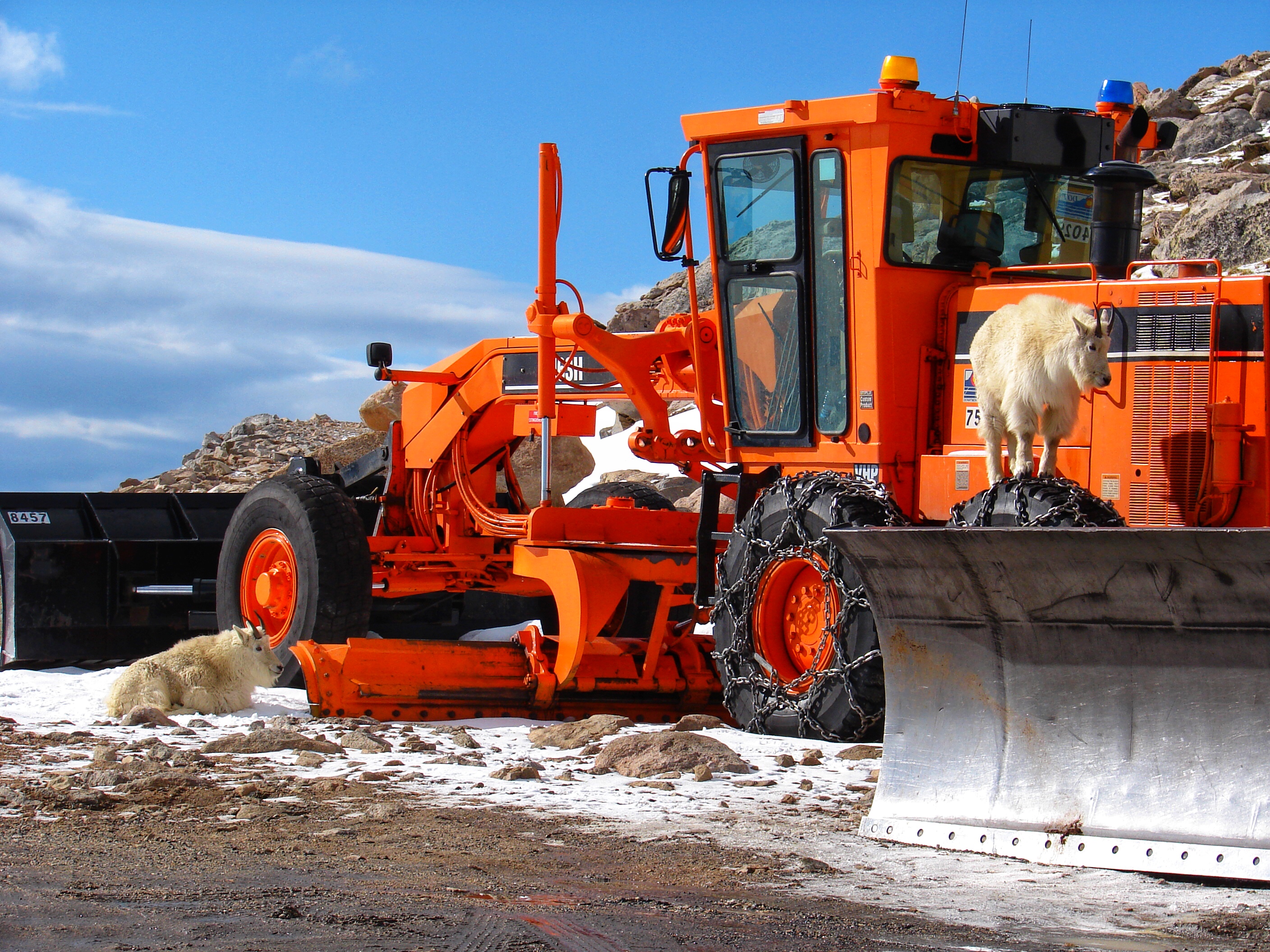
The road lead us to a GPS point on Mt. Evans, which as you can see is quite beautiful. However, these GPS coordinates probably should have come with a warning: Only Attempt in July or August! The summit is at an elevation of 14,134 feet, reached through a series of steep, rapid switchbacks. And when I say steep, I mean it – 10 to 15% grades, according to the park’s website. It is touted as “The Highest Paved Road In The World”. As if that wasn’t exciting enough, large portions of the road have no edge whatsoever – just a nice, smooth launching pad off the road, over the cliff and into oblivion.

Oh, and also the ice. Ranging in consistency from “I dropped my Slurpee” to “Bust out the Zamboni”, these floes were so treacherous at points that we actually had to exit the road and ride through the snow to get any traction. The ice seemed to enjoy accumulating in steep corners without shoulders, though, so sometimes all you could do was hang on and hope for the best.

That guy in the background came over and said, “Wow, I didn’t expect to see any motorcycles up here today. You guys are pretty brave.” Actually, “Completely Unhinged” would be the term I would have chosen, but we take it where we can get it.

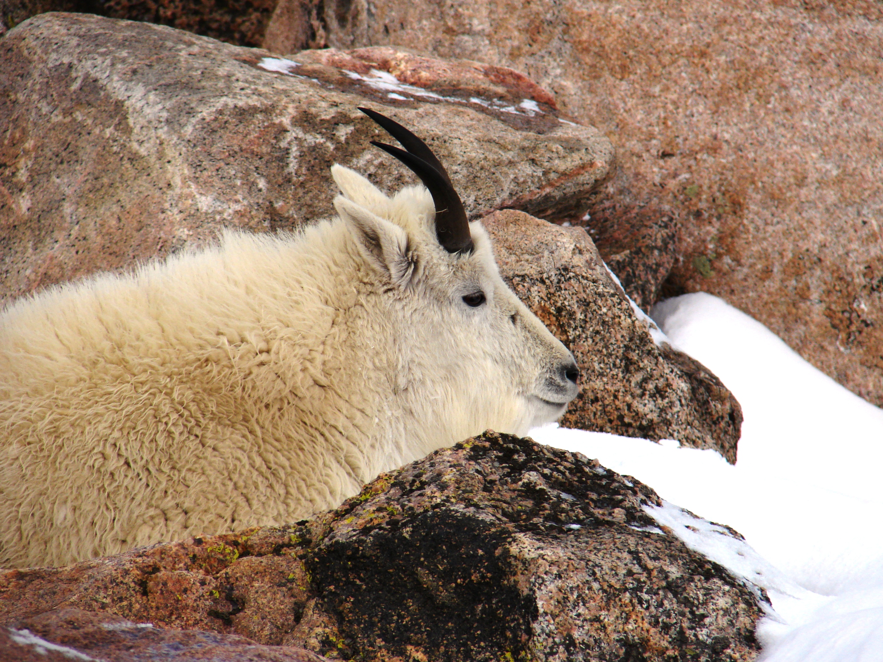
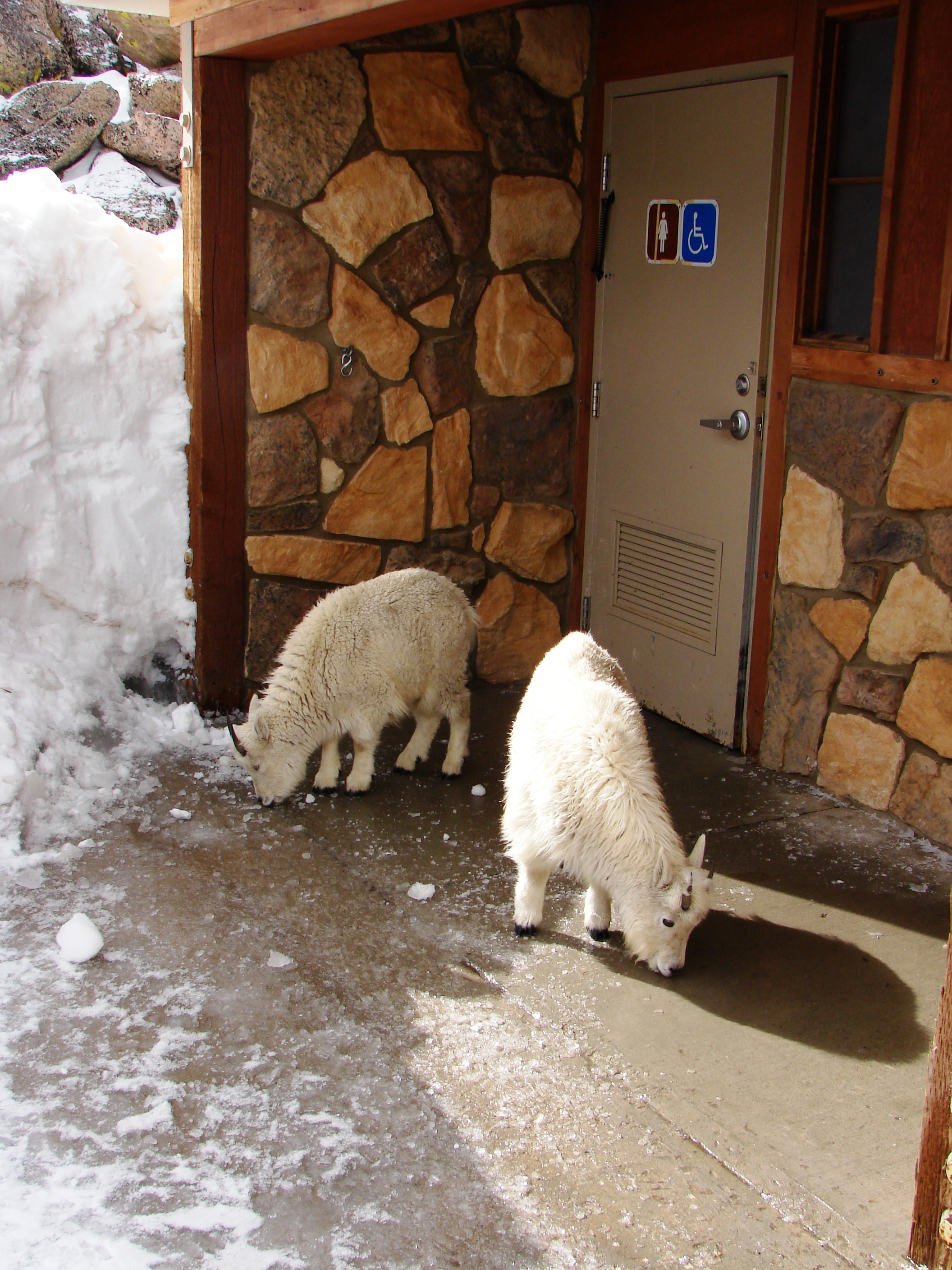
And the goats, obviously, but did I mention the marmots? Yes, the marmots. They live in holes in the ground, often right in the middle of the asphalt. It was like a real life game of whack-a-mole, with the goal being to try not to hit the marmots and also to not die trying to not hit the marmots. A series of fun challenges, no doubt, to which was added one more little complication:
My bike has been a frustrating bucket of crap ever since I had warranty work performed by a Yamaha shop back home (who couldn’t possibly care less) so my bike was actually surging, bogging, and cutting out completely while attempting to negotiate this already nerve-wracking terrain. Weeee! On a side note, I ended up having to fix the faulty warranty repair on my own. The time and expense required to track down and repair all of the damage they had caused significantly exceeded what it would have cost me to fix the original problem on my own in the first place. So much for the 5 year factory warranty, right? But then, they did end up going out of business. So there is that.
*2019 Addendum: My FJR now has in excess of 250,000 miles, and that particular warranty job was the last time I let anyone else work on it.
With a low at the summit in the mid-20’s, we were pleased when we made it back down to the relative warmth at the base of the mountain. The entire round-trip back to our starting point, 54 miles total, took us almost 3 1/2 hours. Still trying to warm up, we headed west towards Utah and a few more GPS locations. By the end of the day, we were sweltering away in construction zones with temps well above 100 and grateful for the micro-bursts of cooling rain we were finding every so often. But then, variety is what makes a trip great, and we enjoyed every minute of it.
(Well, maybe not the minutes I thought I was going to die because my bike surged across the icy road towards a bottomless frozen abyss, but aside from that minor detail I enjoyed nearly every minute of it.)

…And we wrapped the day up with a GPS point in Canyonlands National Park. Despite Zumo’s insistence and our ultimate enjoyment of our last off road adventure, we did NOT take the trail marked “High Clearance 4X4s Only – Extreme Grades – Road is Not Maintained.” We also resisted it’s attempts to make us ride the motorcycles 110 miles along a narrow, highly technical hiking trail, and opted instead to backtrack the following morning along the actual paved road to another actual paved road and progress from there. I think my Zumo may be trying to kill us.

We were lucky enough to get the very last campsite in the entire park, saving us from having to ride about 60 more miles to the next accommodations. Odd, since at least six other vehicles had been circling and none of them took this spot.


In the morning, we found out why. EVERYTHING was coated with a thick, impervious layer of sap from the trees. Apparently seeing us coming, the tree also dropped heavy deposits on the ground and then covered it up with sand, ensuring that every surface of out tent was evenly coated. All I have to say is… eh. It was after 9pm by the time we set up camp, so it’s not like we would have opted to keep going even if we would have know of the tree’s evil plot. Plus, being coated in sap gave Mike another remotely plausible reason to pronounce that we would be spending the following night in a hotel. (Last campsite AND a night in a hotel? Sounds like a win-win situation if you ask me.)
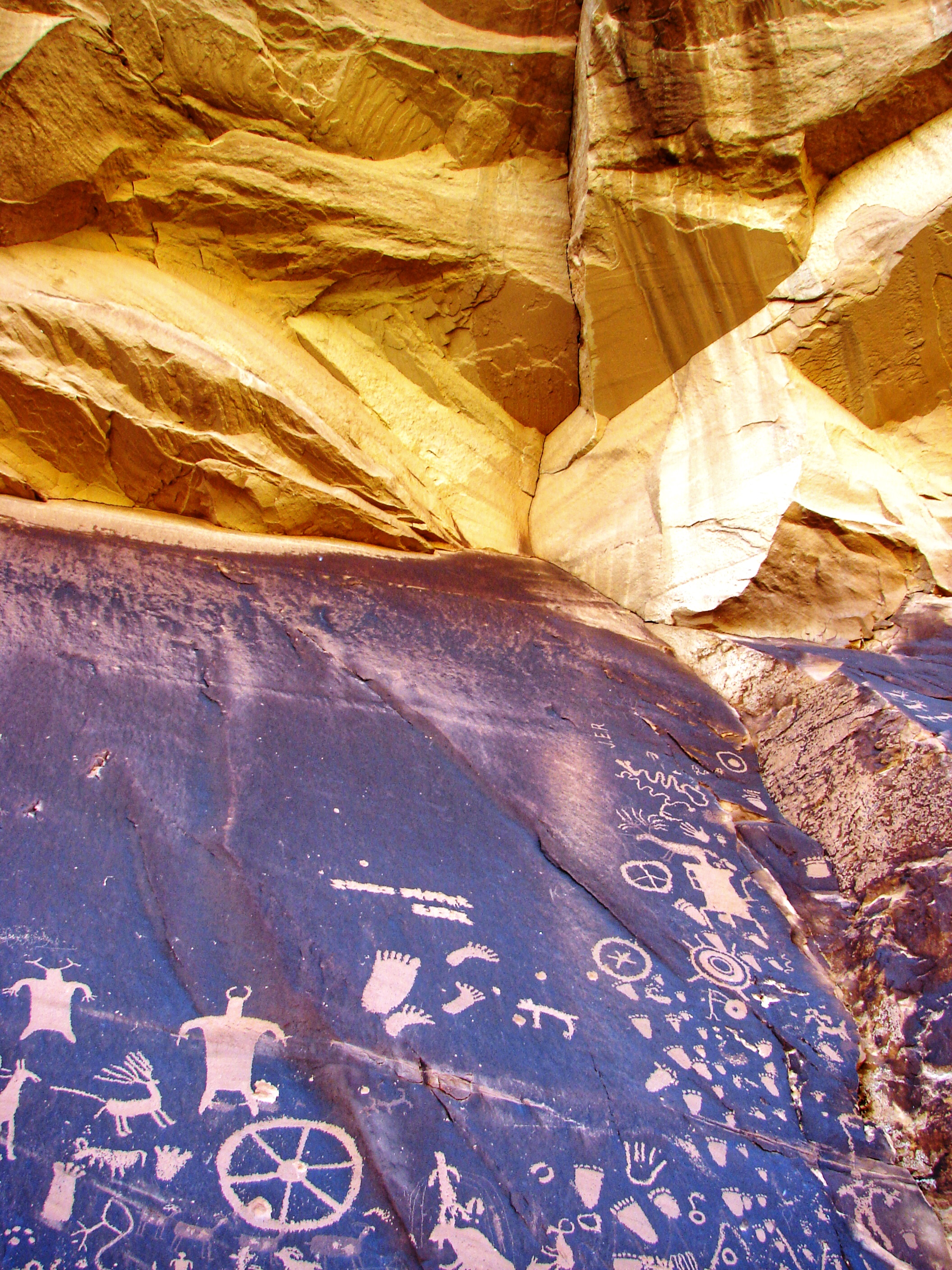
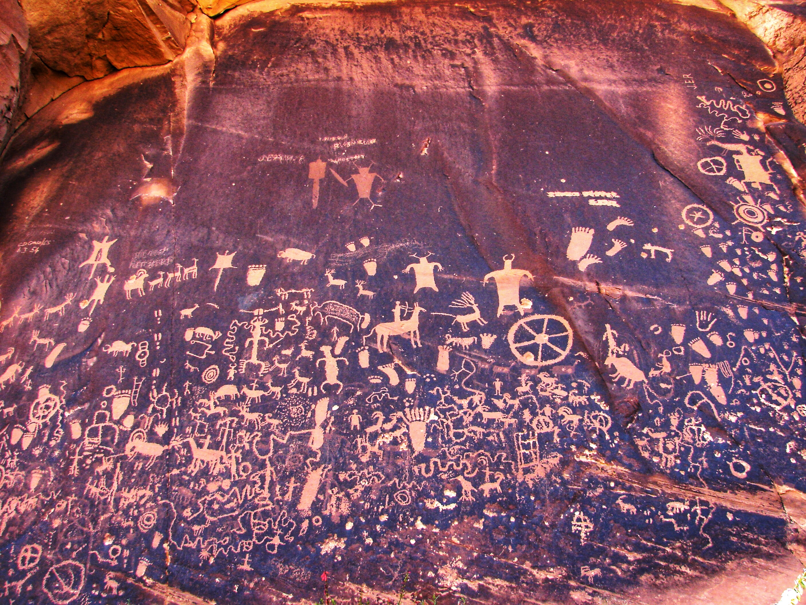

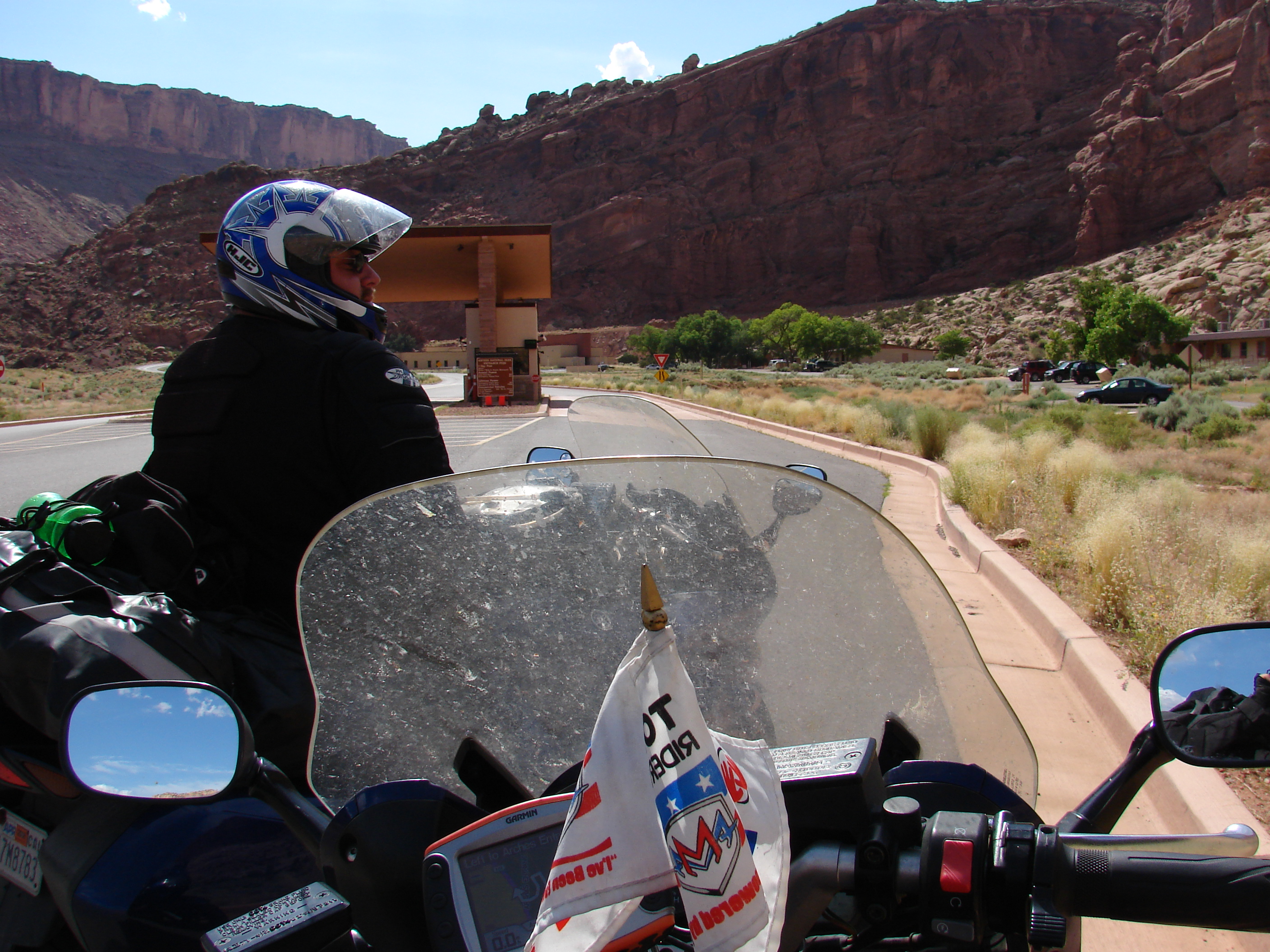
We had to backtrack 38 miles to the highway, but the upside was that we got to stop at Newspaper Rock. We didn’t stop of the way in because it was raining (I’m sensing a theme here…) and we were worried about making it into the park before the gates closed. Mike had never been off the interstate in Utah before, so everything over the next couple days was new to him.
We spent several days in the Four Corners area without picking up a single IBE or GPS point. I love this whole area and there were a lot of things I really wanted Mike to see, unrelated to the AMA Tours. Also, I am leading several motorcycle tours through the Four Corners region this year, so scouting out any changes that have been made since my last visit here will help me plan a better tour for those guests.


Our wanderings took us through Glen Canyon Recreation Area and around Lake Powell, Capitol Reef National Park, Grand Escalante National Monument and Dixie National Forest on our lush and varied ride to Bryce Canyon National Park. Below is a picture of a previous visit to Lake Powell where the water reached nearly up to the buildings at the base of the cliff (the buildings appear as white specs in this picture.) The second picture is Mike this year; you can’t even see water in the picture.

My friend Bob in 2001, back when we all had more color in our hair 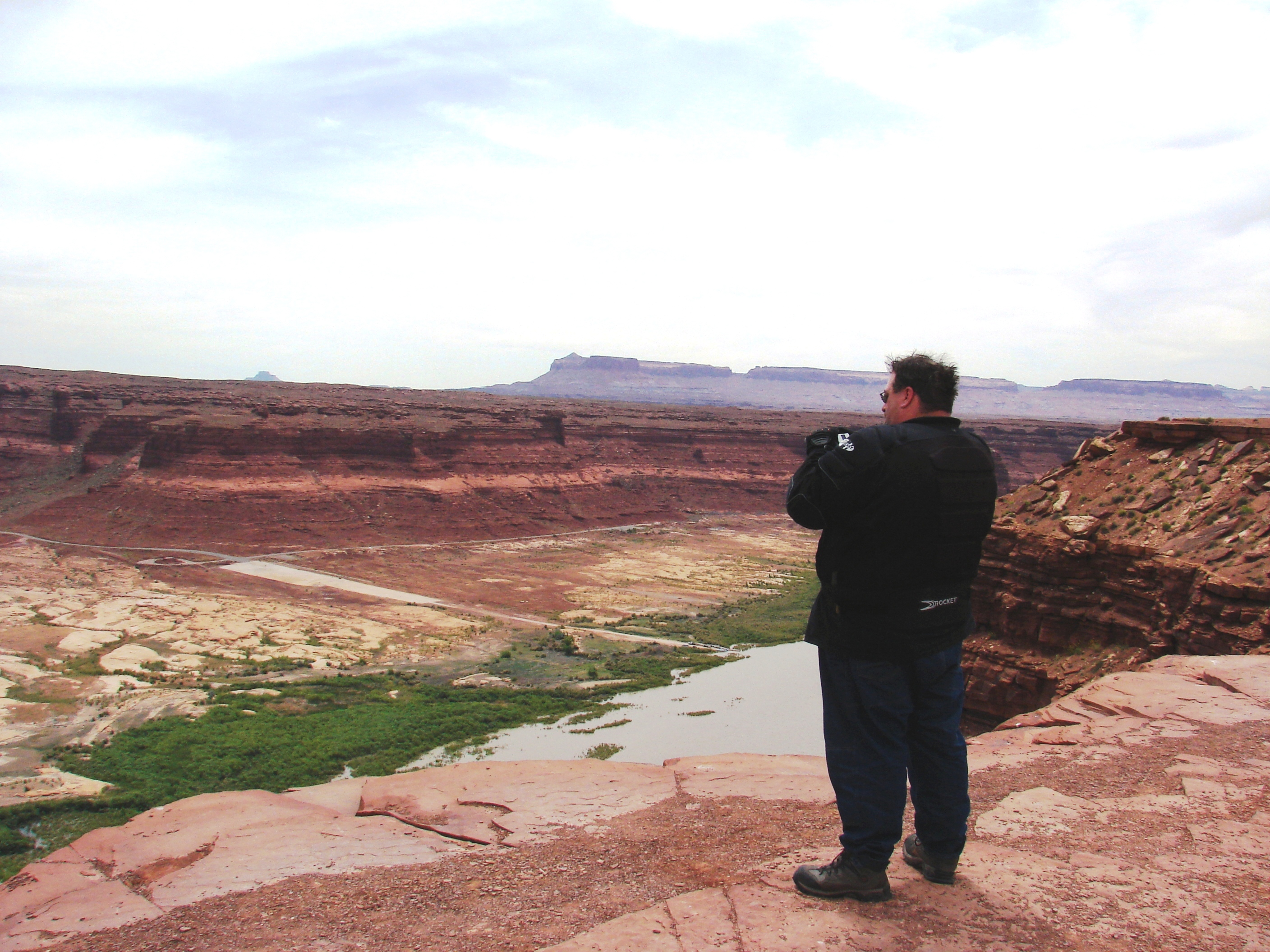
But the lack of water didn’t mean a lack of enjoyment; Mike was thoroughly awestruck by the majesty of the landscape.
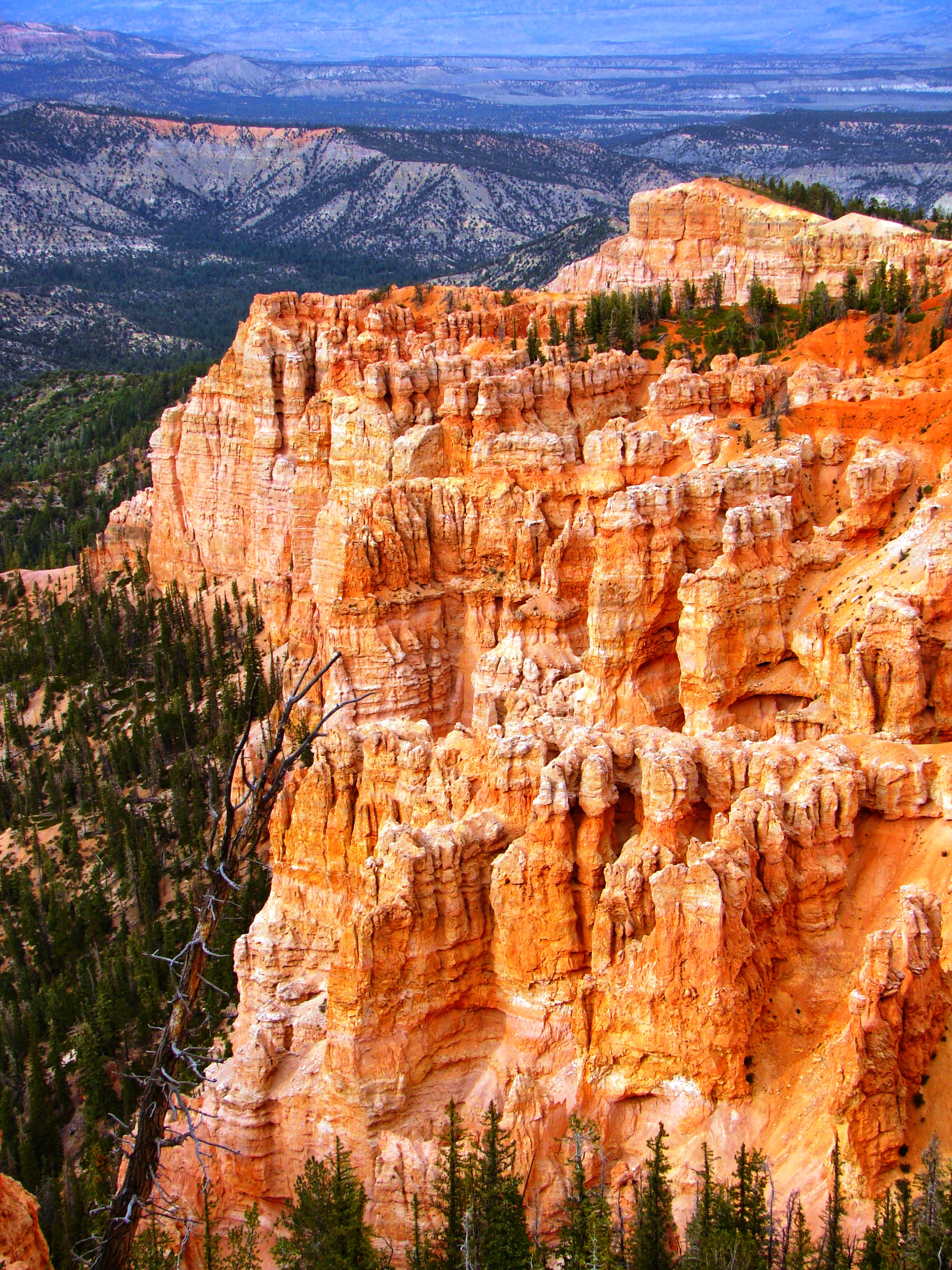

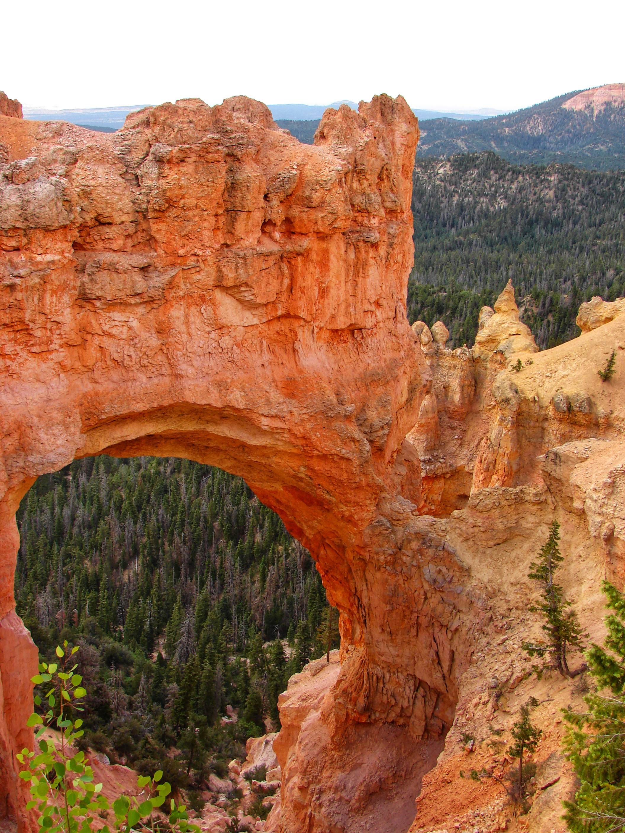
After a beautiful ride from Canyonlands National Park, despite a little rain and a lot of wind, we arrived in Bryce Canyon just in time for sunset. Mike had seen pictures in the other national parks we’d visited, but they do nothing to prepare you for what it’s really like here. Simply Amazing!

Between being covered in sap and Mike’s sciatica (or tennis elbow or pink eye or bug bite or which ever ailment it was that manifested whenever we had to choose between camping or staying in a hotel), this was definitely going to be another hotel night. As we were checking in, another biker came in and asked about the weather. “Supposed to be a snow storm tonight.” No. Is that possible? For Pete’s Sake, it’s June! Well, you better believe that was justification enough for Mike for all the hotels we’d slept in so far and all the hotels we certainly would be staying in from here on out. You just never know when it could up and snow on you, right honey?

It’s funny; I can pinpoint the exact moment that we ceased to be a “camping” couple and officially became a “pansy” “indoor” “hotel” couple. It was right about three hours after I took the picture below, when Mike finally woke up and looked outside. “Aw, we’re snowed in. Can’t ride today.”

That was it. That was effectively the end of Mike’s camping career. But not mine, I tell you! You’d better believe that I’ll be a camping fool on solo trips! (Mike’s pretty sure that “camping” and “fool” are synonymous anyways, so I figured I’d just run with it.)

Our original plan had been to head north out of Zion National Park and travel up into Idaho, then back down through Oregon, Nevada and the Gold Rush Country of California. It turned out, though, that this storm was actually pretty serious and that we were just picking up wisps of the very southern tip of the storm system. It’s not that we don’t like adventure, of course, but we were already a little tight on time due to the weather we’d been skirting on the whole rest of the trip. Being rushed and riding in icy snowy conditions is not the best choice to make, especially since we were on vacation and didn’t have to stick to no stinkin’ itinerary. So, plans changed. We took an extra day to explore around Bryce, and after the snow melted a bit we made the leisurely trip over to Zion.

*2019 Addendum: Well, we’ve made it to what is, in my humble opinion, the closest to heaven anyone is likely to get in the Lower 48. We might as well linger around here for a week, take some time to really enjoy ourselves, and pick up the journey next week. Tune in next Thursday for the finale of the I’ve Been Everywhere Throwback Travel Spectacular!

That was an intense read for sure. But I have to say my favorite part was that crazy marmot-filled, icy death road. Mountain goats!
LikeLiked by 1 person
It was quite an experience! I’ve been up there a few times since; the goats, marmots and hundred-mile views are all lovely, but somehow it’s not nearly as exhilarating when the bike isn’t actively trying to cause your demise. 🙄
LikeLike
I’ve seen Zion National Park and can understand why you and Wendy like it. But the BEST place on Earth has to be YELLOWSTONE NATIONAL PARK. Scenery, wildlife, flowing water and water falls, lakes, hot springs, GEYSERS, mountains, high prairies, excellent roads, lodging and camping, shopping, restaurants, and excellent history. Go back and review YELLOWSTONE NATIONAL PARK and perhaps it will rise to be your favorite as it is mine.
LikeLike