*2019: This is the last episode of #ThrowBackTravel to be pulled over from our old website. There may be more throwback stories as I have time to compile old ride reports and pictures, but they won’t be coming as fast and furious like they have been. So don’t just wolf it down. Sit back, pour a drink, savor it… And off we go!
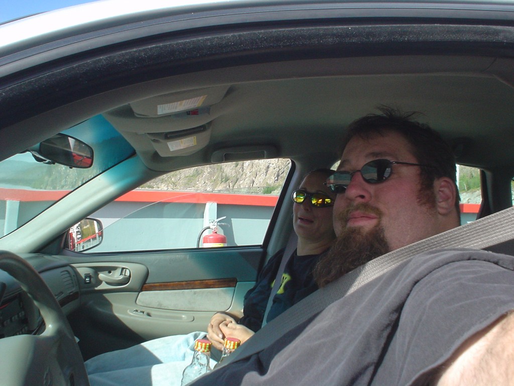
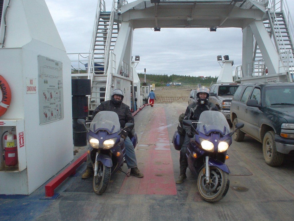
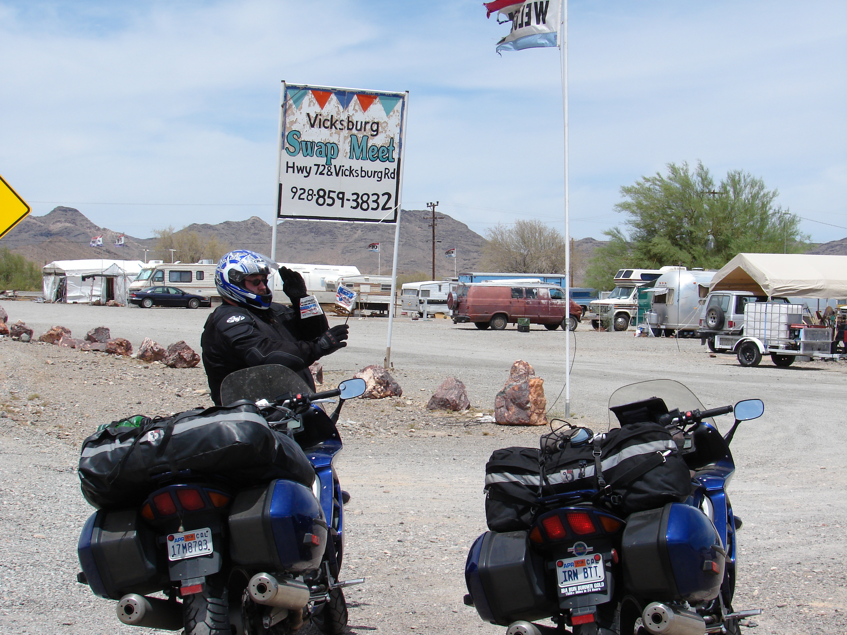
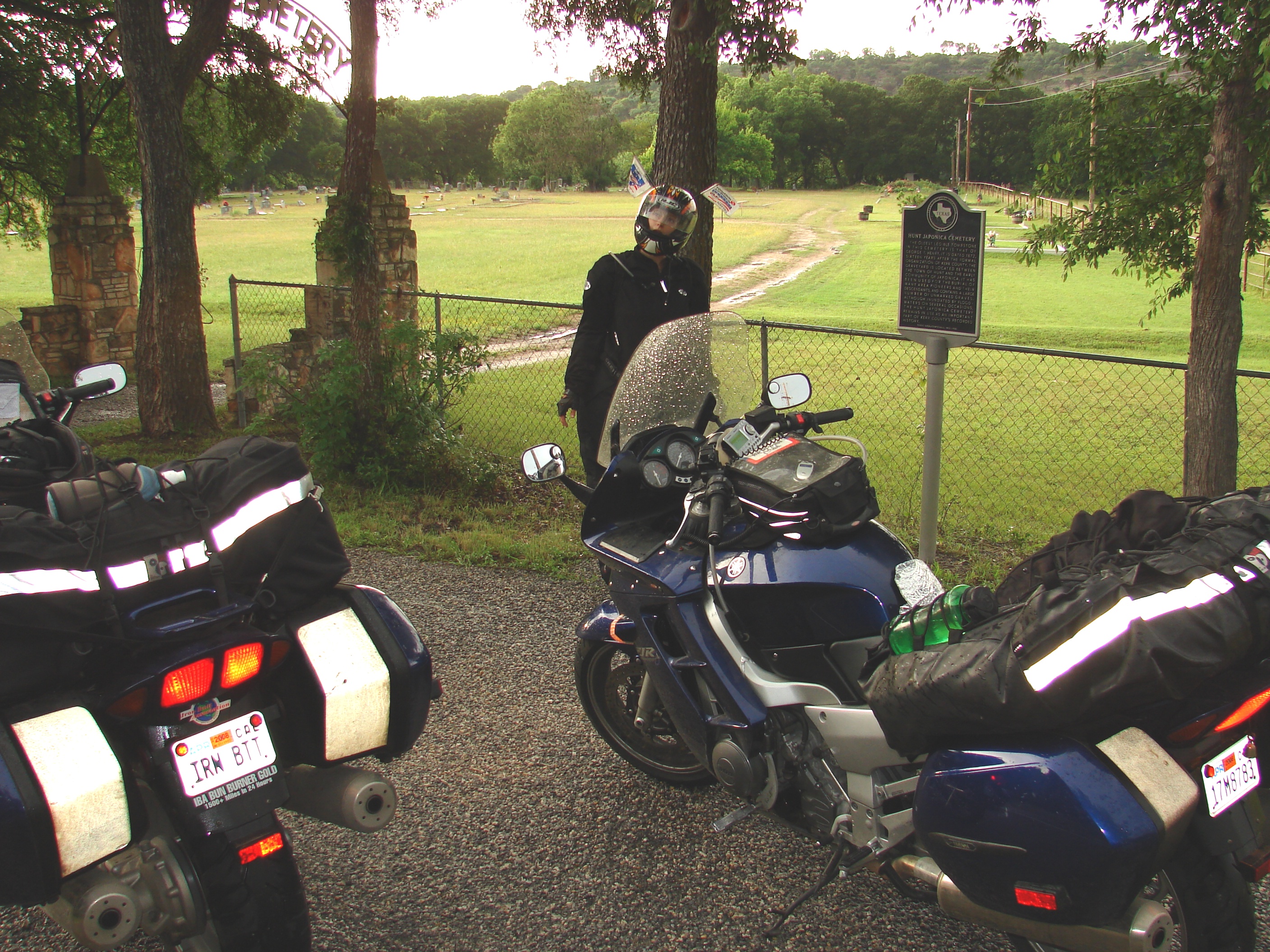
Crossing on the Yukon River Ferry. Yes, that’s us in a car. A rental car, to be precise. Three of our four tires were destroyed, beyond repair. The closest tires we found were 8 hours away in Fairbanks, Alaska – a far cry better than the 8 DAYS it would take to have tires shipped to us in the Yukon. The trade off for time was price – this car only came with 100 free kilometers (about 60 miles). When our little trip was complete, 25 1/2 hours and 1,407 kilometers later, they hit us for almost $600. Talk about painful…

Alaska was having a little wildfire problem of their own, although thankfully farther from the road. You’d think that a place that spent half the year covered in snow and the other half of the year slogging around in melted snow would be low on fire danger, but that’s clearly not the case.

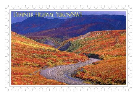
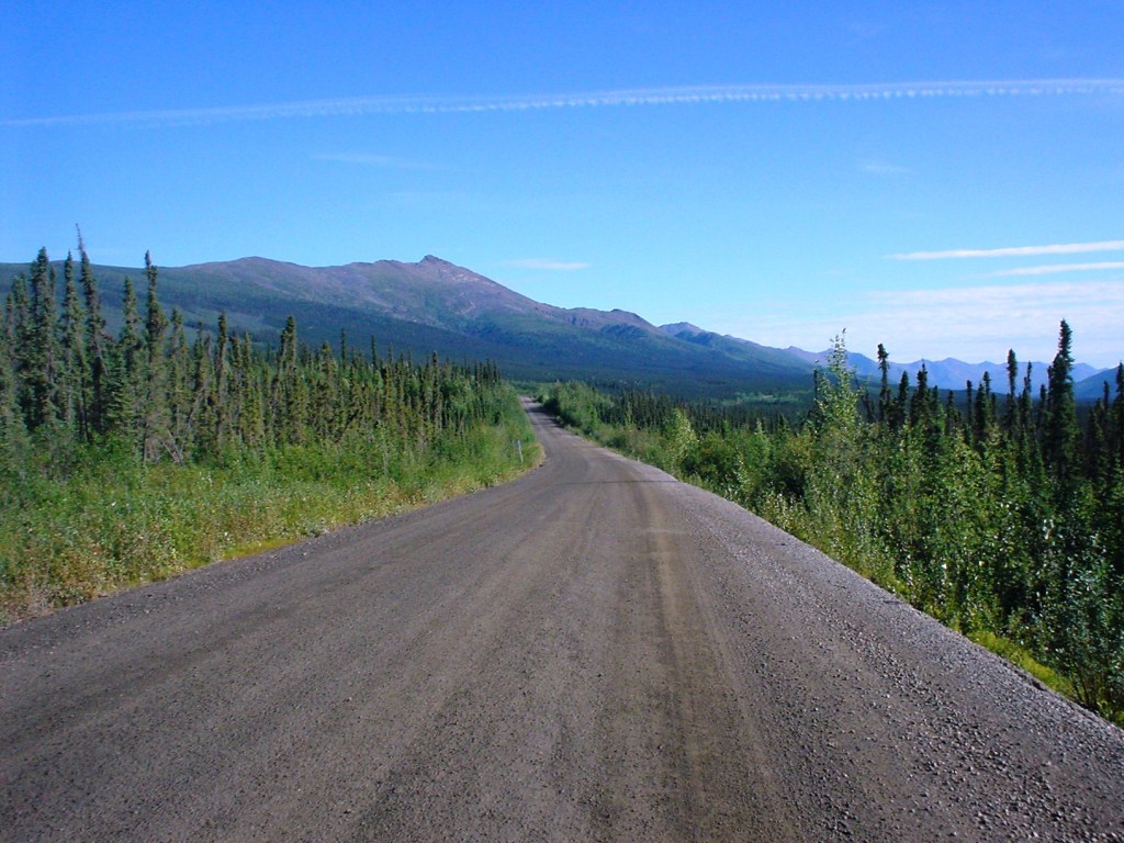
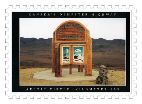
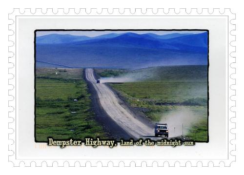
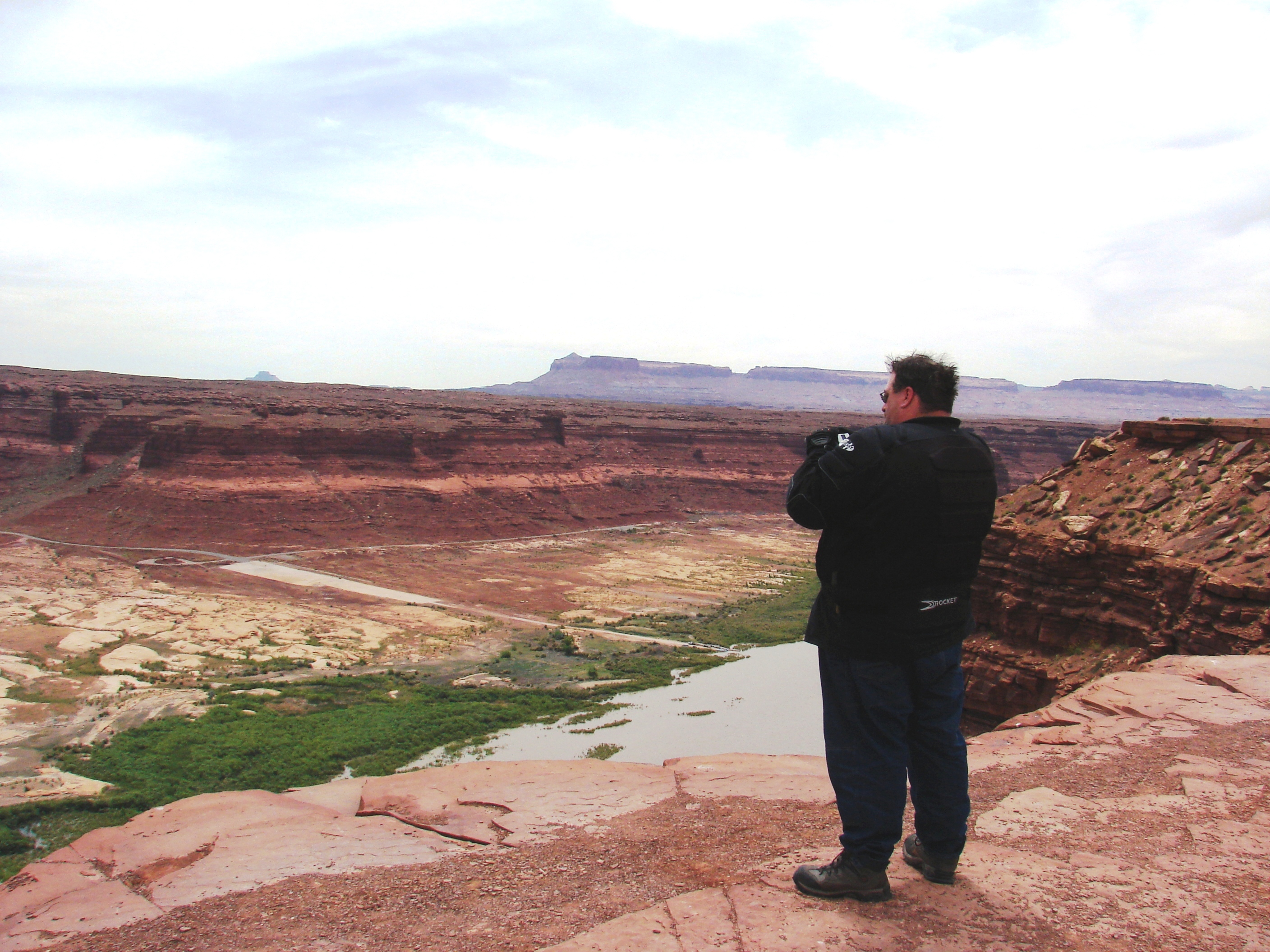
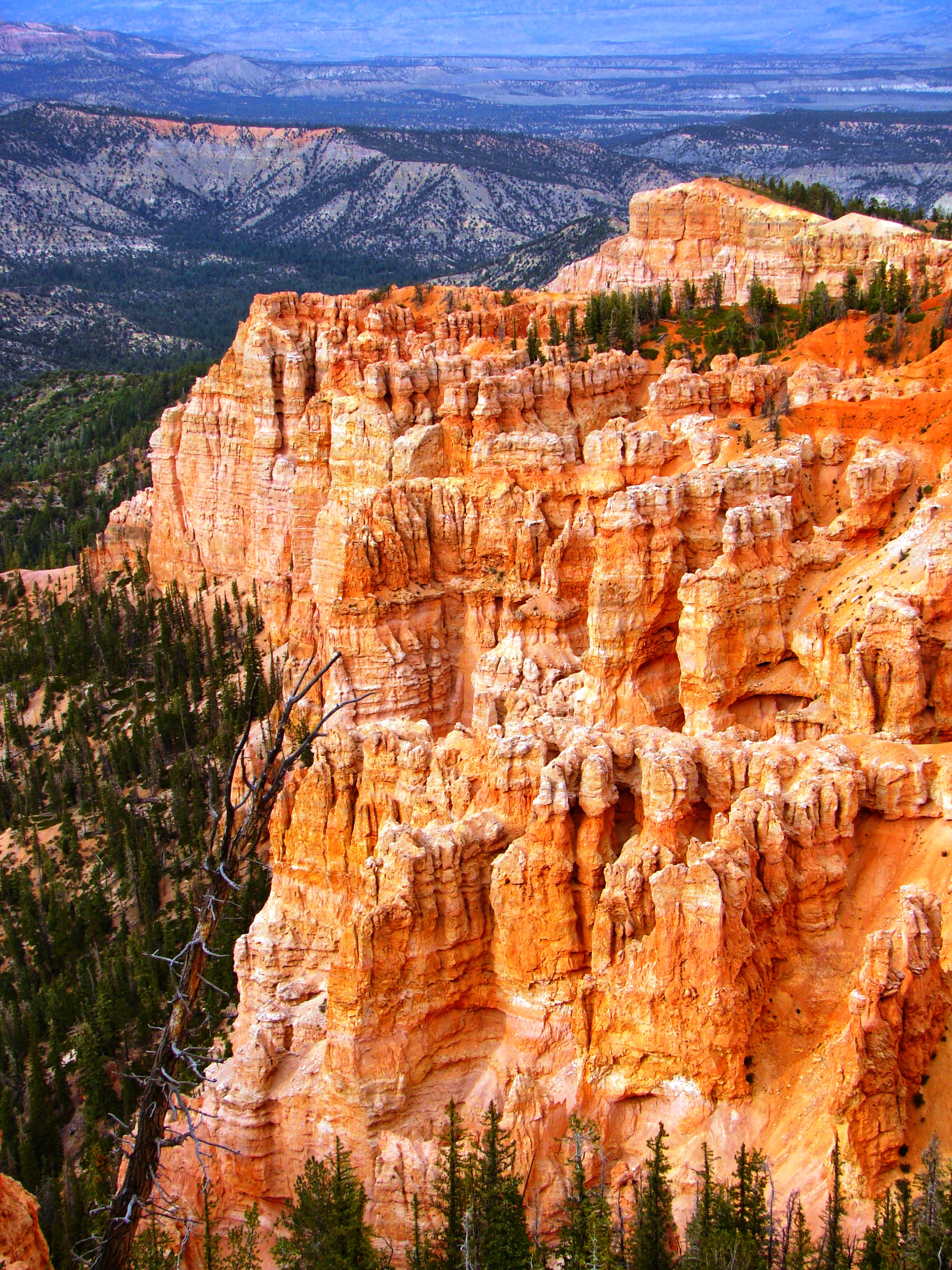
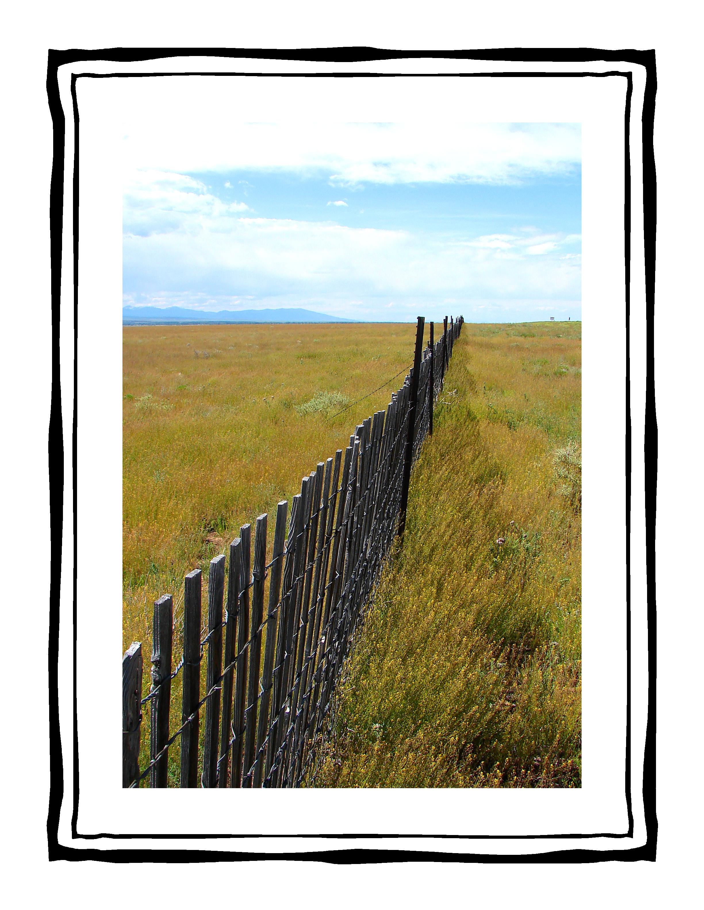
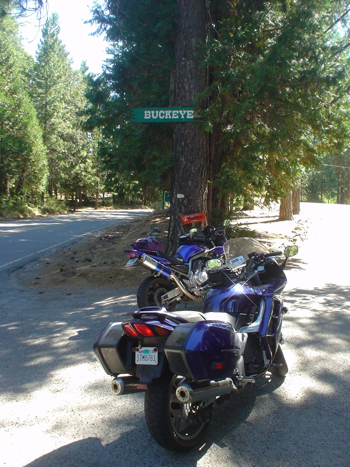
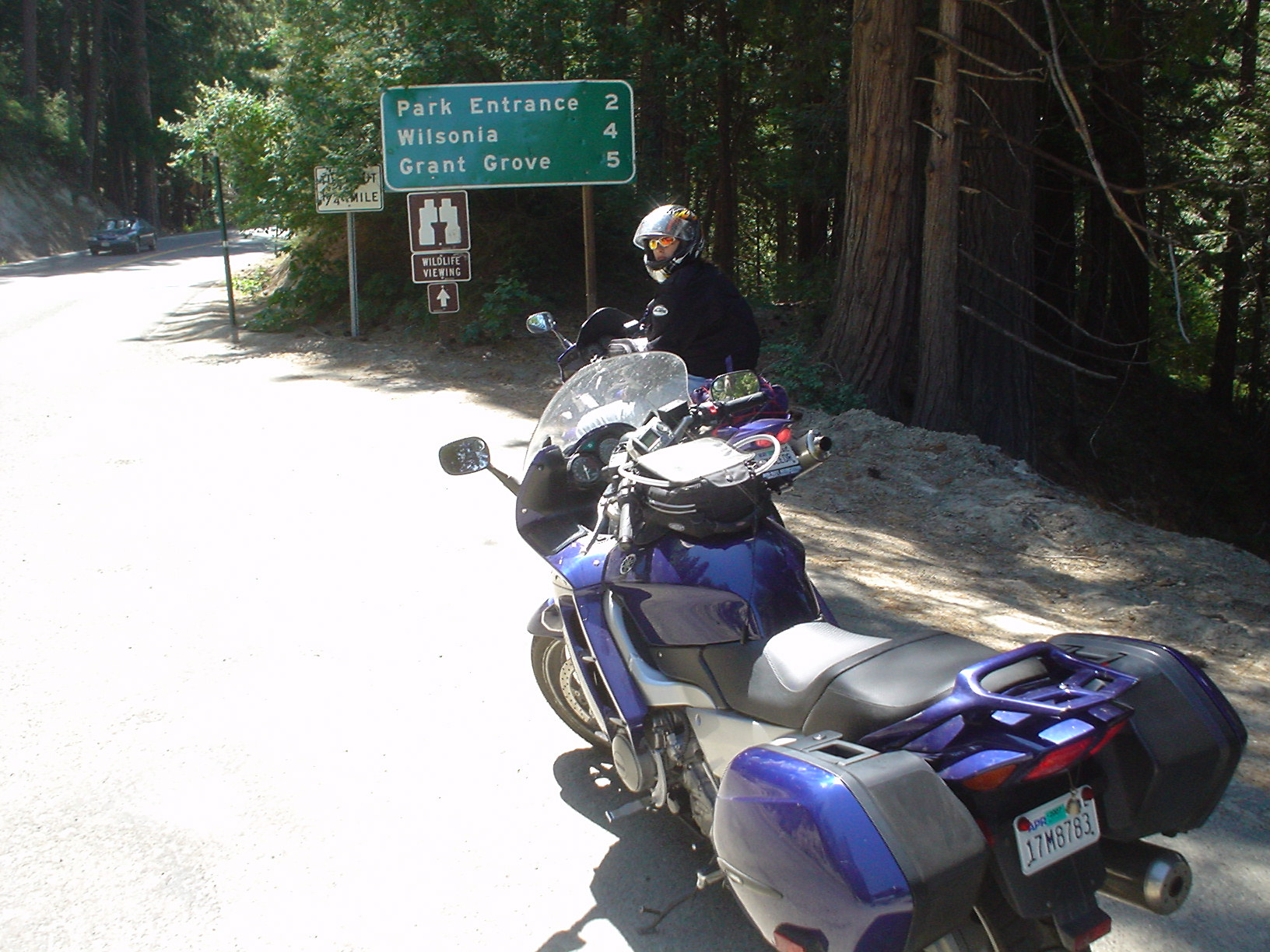
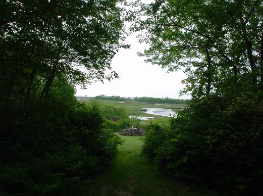
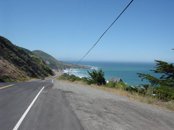
The view from the Top of the World Highway was impressive, but not quite as impressive as the Dempster. This road was also dirt, and better maintained than the Dempster, but we have to admit that if we had to be on it, at least it wasn’t on the bikes. We’ve done enough dirt riding on street bikes to last us a while.

Entering Alaska for the second time. We look happy because we think our troubles are over. We’re so gullible.

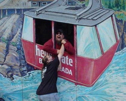
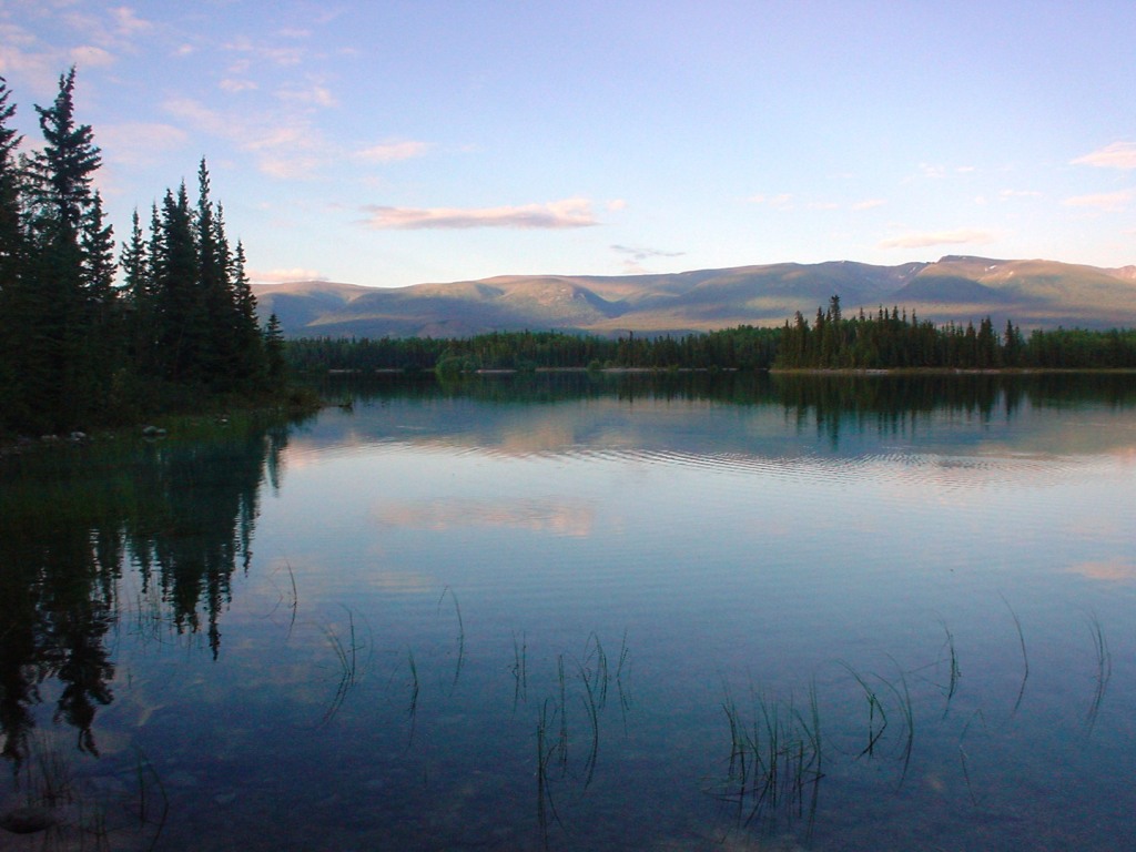
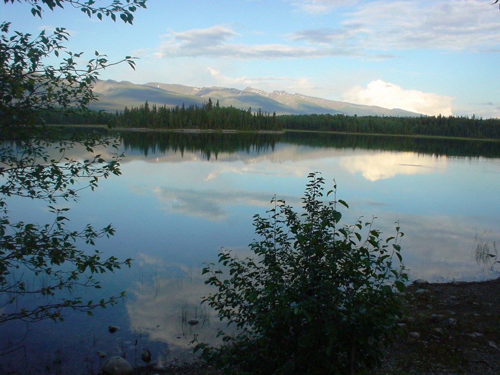
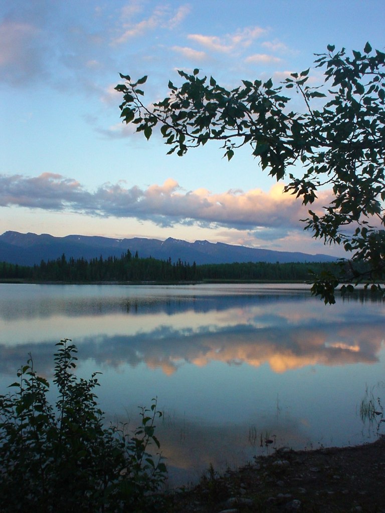
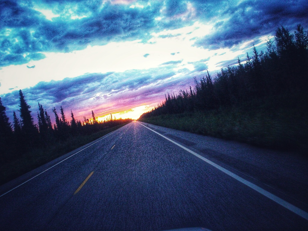
OK, the sights WERE pretty, and the faux sunset WAS spectacular, but still… It wasn’t $600 worth of spectacular.
WOW! OK, this was also pretty amazing. We also got a chance to actually talk, which we can’t do on the bikes. I guess it wasn’t so bad, but still… $600?

We left Dawson City at 5pm and arrived in Fairbanks at 3am. We couldn’t find a campground or a reasonably priced hotel with a vacancy, so we did what any completely insane person would do – we slept in the parking lot of the motorcycle shop. Mike slept in the driver’s seat, and I slept with the rear seat down, half in the trunk and half on the seat. Not a real restful night sleep since it didn’t get dark, but you gotta do what you gotta do.
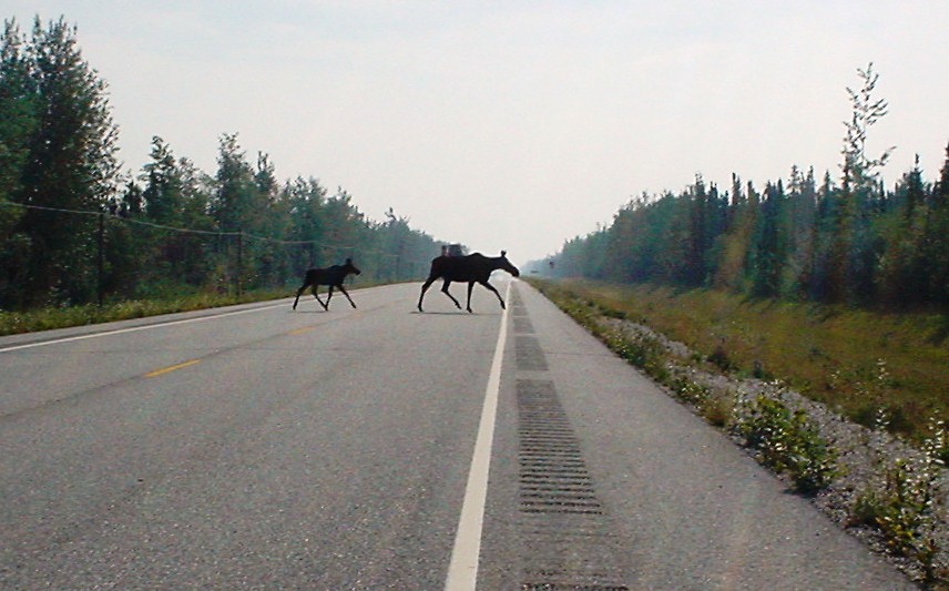
BUT LOOK! IT’S A MOOSE! A MOOSEY MOOSEY MOOSE AND HER MOOSEY MOOSEY BABY! Now THAT makes it all worth while!!
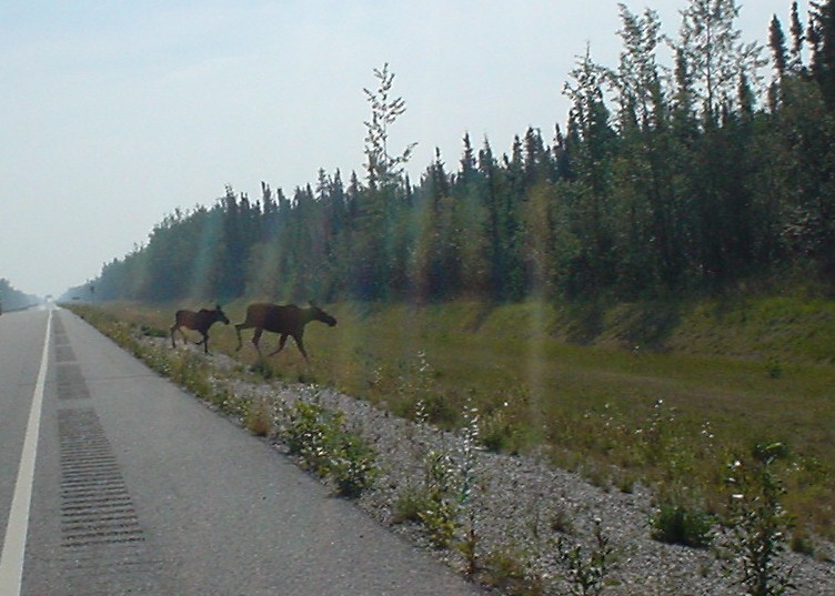
We finally got a picture of a moosey moosey moose!
I’ll make a long story short. When the motorcycle shop opened and we asked for our tires (which we had ordered and paid for by phone last night), they just shrugged their shoulders. It took over an hour and a half for them to figure out what had happened: They charged us for the three tires we needed, then someone else came in and wanted to buy one of them. Knowing we were driving all night from the Yukon to get these tires, they credited us back for one and sold it to someone else. They didn’t call to inform us, didn’t apologize, and didn’t want to give us our third tire back. Call us if you want all the sordid details, but lets just say that in the end, the cops were called and we left the shop with three tires.
*2019: OK, we’ve dragged this out for 14 years. For those of you who haven’t heard the whole animated, curse-filled tale in person, here’s a little more story. There was a lady working at the parts counter who had some serious attitude. I get it, we’re foreigners, but we came in with a pleasant attitude (or as pleasant as could be expected, considering we’d just slept in their parking lot) and just wanted to retrieve our paid-for tires and hit the road. If I had to guess, having 14 more years of powersports customer service under my belt since that glorious day, she was probably the one who sold our tire out from under us. She probably gambled that we wouldn’t make it, and figured that cash-in-hand from a local buyer was better than a refunded credit card charge a few days down the road. She lost that gamble, and rather than roll it back she decided to double down.
“May we speak with the parts manager?”
“I am the parts manager.”
“Who is your manager?”
“I’m the top of the food chain today. So sad for you.”
The only thing the shop offered was to give us the two tires that were still on our invoice. Fantastic! A $600 rental car later, that would get us fully 2/3 of the way to mobile! Sigh. An hour and a half of nasty looks and snide remarks later, a mechanic innocently walks in from the back and says “I found that other tire you were looking for.” He was immediately incinerated with the vicious laser-gaze from the Parts Manager Lady.
Apparently the sequence of events were as follows: We purchased the three tires over the phone. I called from the road about half way to Fairbanks and confirmed that our tires were there, paid for, and that we would be arriving to pick them up the following morning. A few hours later, a local rode in and asked for one of those tires. Not having any more to sell him, they credited us for one and sold it to him. He left his bike to have the tire installed… And there it sat. The tire had yet to be installed, but when we asked for the tire (which was, by any measure, rightfully ours) so we could be on our merry way, Parts Lady said she couldn’t sell it to us because it was already sold to someone else. Aaaaaahhhhmmmm,…. Okaaaaay,… buuuuuttt,…. I also have a receipt showing that I paid for three tires, including that one right there. Does it need to be resold a certain number of times before it gets locked in to a particular owner or something? Or is that a determination made based on the zip code of the purchaser? What exactly do we need to do to leave here with those three tires?
We did not go to extreme lengths to hide our discontent with the situation, but we never got loud or made threats. We did, however, make it clear that we would not be leaving with fewer than three tires. And why would we? We’d ordered three, paid for three, and needed three to get on with our trip. We weren’t about to pay for the World’s Most Expensive Tire Change ®, only to have to return to Dawson City and wait for over a week in order to arrange for a single additional tire to be flown in. Not happening. Parts Lady, or somebody in the shop, apparently tired of our presence and called in the fuzz. They were pretty cool about the whole thing, just standing by to make sure we didn’t try any funny business. Eventually the tables started to turn and the other shop employees started to more vocally support our position. I think the fact that we were polite(ish) but persistent really helped sway sentiment in our favor. While Parts Lady held firm, other employees started loudly telling her that, basically, she was being a jerk. They got pretty persistent on our behalf, pointing our the obvious fact that the tire was ours to begin with, Number Three hadn’t been installed yet, and that the ride-in was in a better position to wait for another tire to arrive.
I think, ultimately, everyone just grew tired of the “locals back locals” thing when it came to backing up her clearly indefensible position. It was ridiculous and everyone could see that. Everyone – the cops, the other employees, even customers that were lingering around to take in the show – were chatting with Part Lady while giving us the side-eye that said “Yeah, I get it.” We reached a point where the cops were probably tired of hanging out but Parts Lady needed to save face, so she stepped out for some reason and another parts guy thankfully gave us our rightful Number Three. In retrospect, and even really at the time, we weren’t angry with the shop, it was just one person on a power trip who made a series of increasingly poor business decisions. But I’ve said it before: It’s the spectacularly good things and the spectacularly bad things that really stick in your mind after a trip, and no matter how this panned out it was going to be a memorable event.

By the time the bike shop dimwits were done screwing around, it was too late for us to get the rental car back in time. There’s an extra fee for that. The rental place also runs the only taxi service in town, and since they were closed by the time we got back, we had no way to make it the 25km to where we left our bikes. Sigh…
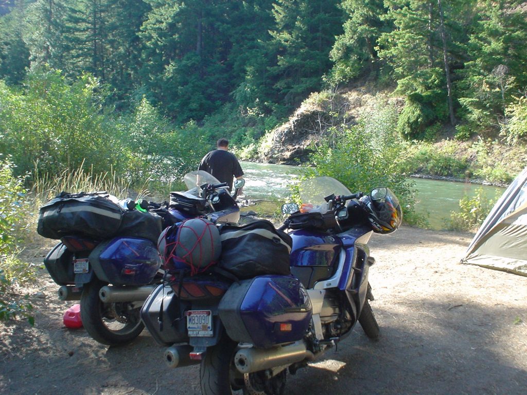
When we finally made it back to the Klondike Lodge, they were closed. We shared our sob story with the mechanic there, trying to sway him into opening up the shop so we could install our new tires. It didn’t work. Instead, he bought us dinner and a night in the lodge. Praise the Lord, there are some good people left in the world!! We were filthy, exhausted, and STARVING – we hadn’t had time to stop for food since we left Fairbanks. We ate like pigs and slept like babies, clean, dry, and happy for the first time in days.

Our Heros! Richard, the mechanic at the Klondike Lodge, and his assistant Brandon. When all was said and done, they didn’t charge us a cent and refused a tip. (We left one anyways.)

We didn’t get good pictures of the slices in the tires, because we intended to cut out the worst chunks and save them as souvenirs. We forgot. You can see how bald the top tire is – that was Mike’s front. The middle one is my rear tire, and it has five big slits in it (the largest was almost 2″ long). The bottom one is Mike’s rear, and if you look at the bottom of the picture just left of center you can see one of the many places where his steel belts were showing through. Believe it or not, these tires were new when we left California, and should have lasted us at least 5,000 more miles.

All this struggle faded into distant memory when we made it to Mukluk Annie’s in time for the all-you-can-eat breakfast a few days later. The whole buffet was good, but those were the best blueberry pancakes we had ever eaten. Look at that – it’s flopping off the edge of the plate!! Judging by the look on Mike’s face, Gnomad picked the wrong place to kick back…
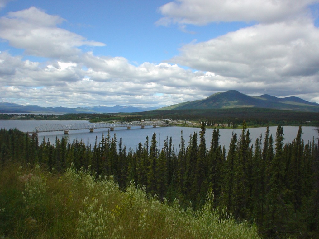
Overlooking Teslin, Yukon. If you look at the far side of the bridge, then nine more miles up the road, you’ll see Mukluk Annies. Mmmmmm…. pancakes….

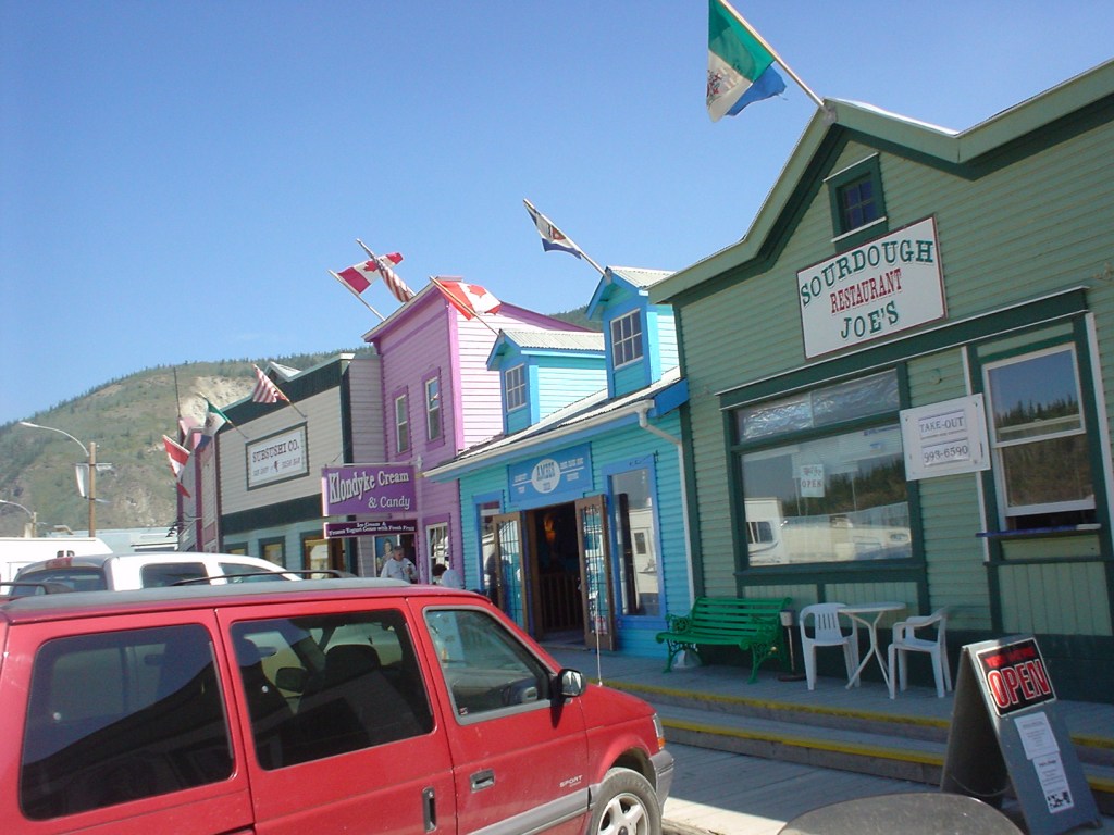
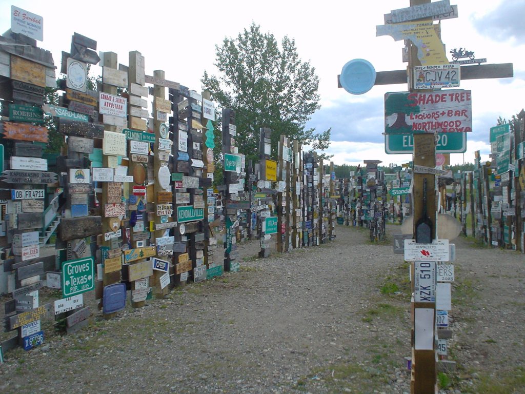
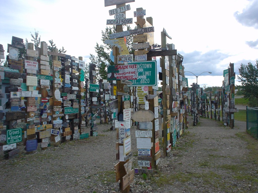
This was going to just be a short rest stop in Watson Lake, Yukon. A sign forest is a good excuse to take a break, but we figured is would be kind of geeky. Saying so might confirm our geekdome, but it was actually a lot of fun!


CORN PALACE! BTDT, Got the pics to prove it! 


Glen Eden Nudist Club: Conveniently located just north of Beavercreek. 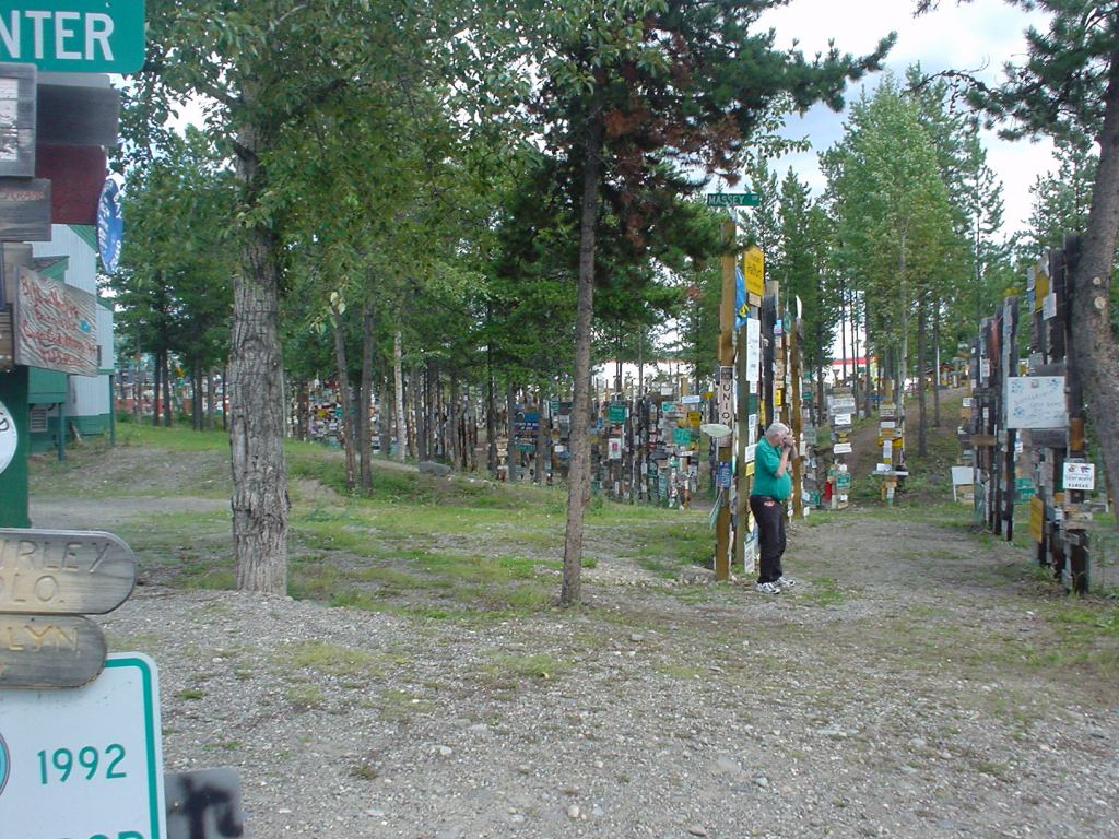


Poway – Right by my parents house! 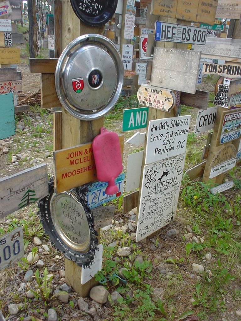
Is that a hot water bottle nailed to a post…? 
My home town! 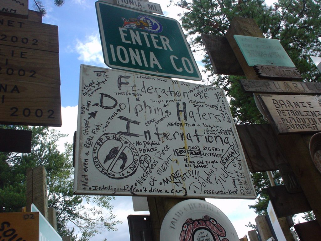
Federation of Dolphin Haters International. Of course… (?)
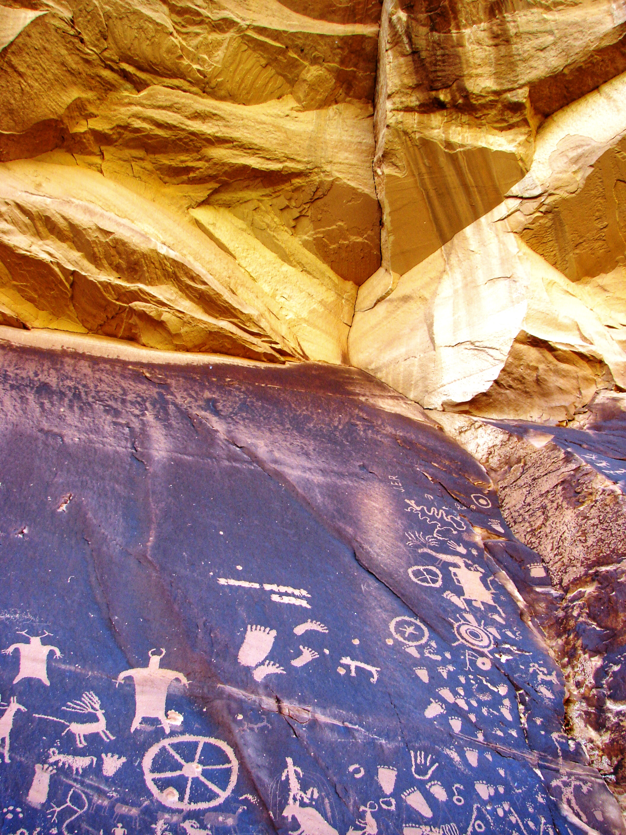
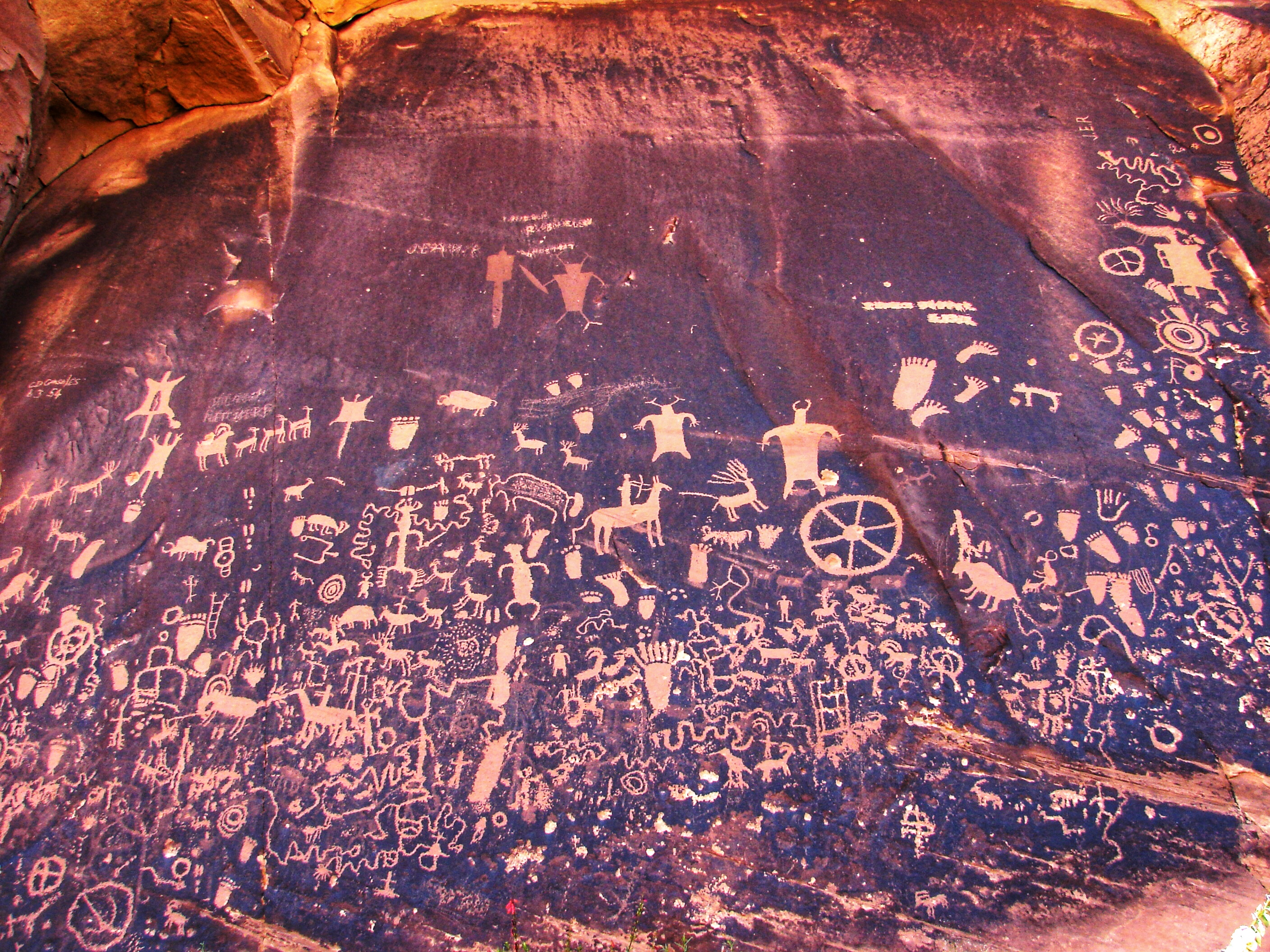
We were just going to stretch our legs and pop in for a quick look. With over 60,000 signs, I don’t think there’s such a thing as “a quick look.” These are all thumbnails. Click on a few, and I’m sure you’ll see what we saw – There’s a lot of really funny stuff in here!


We saw lots and lots of wildlife, but this herd of buffalo was probably the closest. We saw caribou today, too, but they cleared out before we could snap a picture. I think they sensed that we had eaten a Caribou Burger a couple days before. (Incidentally, it was VERY tasty, and I highly recommend trying it if you get the chance.) This big herd was standing right next to the road, completely ignoring us. Mike was sitting right next to me, completely ignoring them. (I guess you become immune to the cuteness of big, smelly, hairy animals when you grow up in South Dakota, but not me! I’m married to one!)

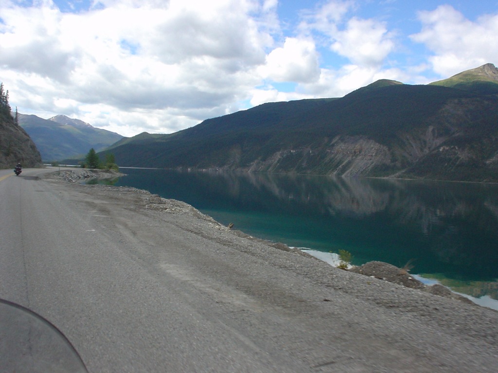
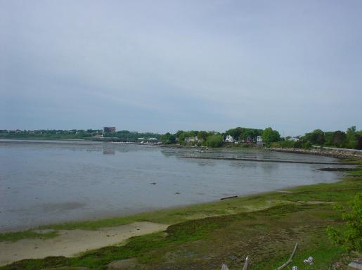
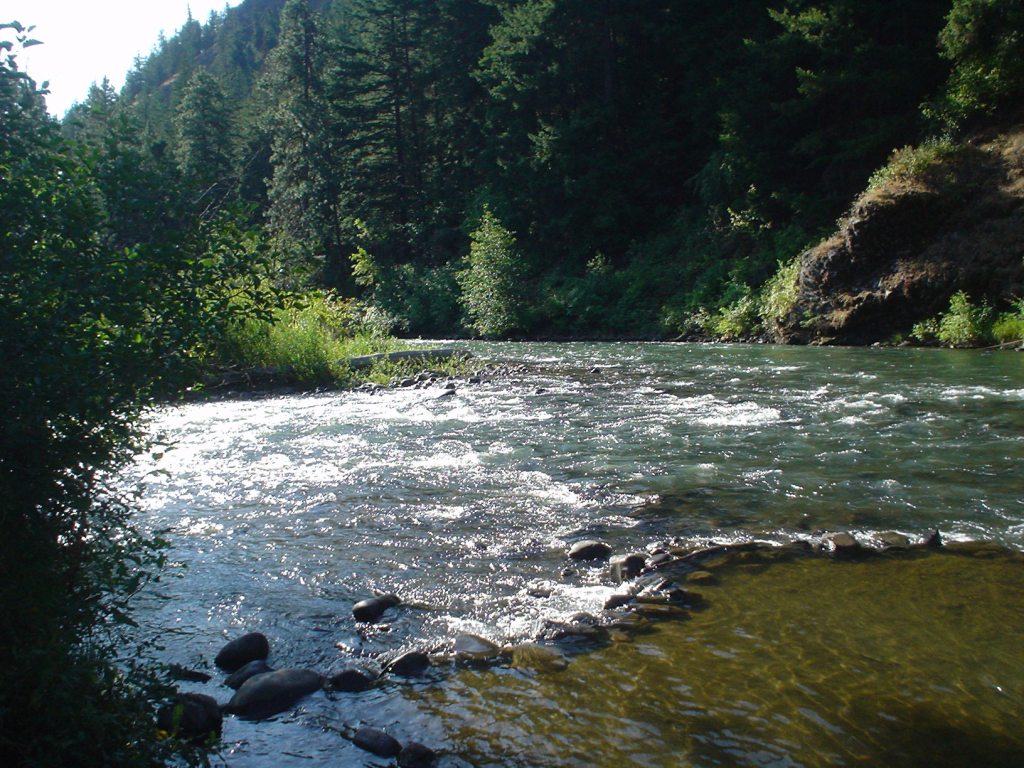
Muncho Lake, British Columbia. This lake was just as still as Boya Lake, but the water was a deep turquoise. It also made for beautiful pictures, and I’m sure sunset is truly a sight to behold. Maybe on the next trip…
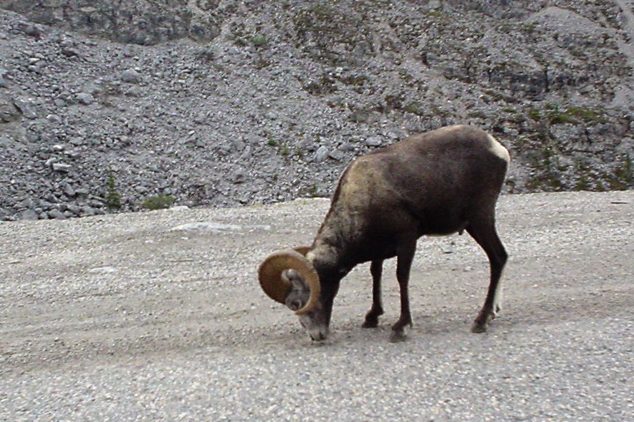
This big fella was standing right in the middle of the road (which had again turned to dirt, but nowhere near as bad as the Dempster). He and his kin folk like to eat the seeds and things that are easy pickin’s on the road, and they really don’t care how many people honk at them while they do it.
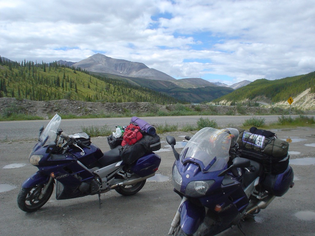
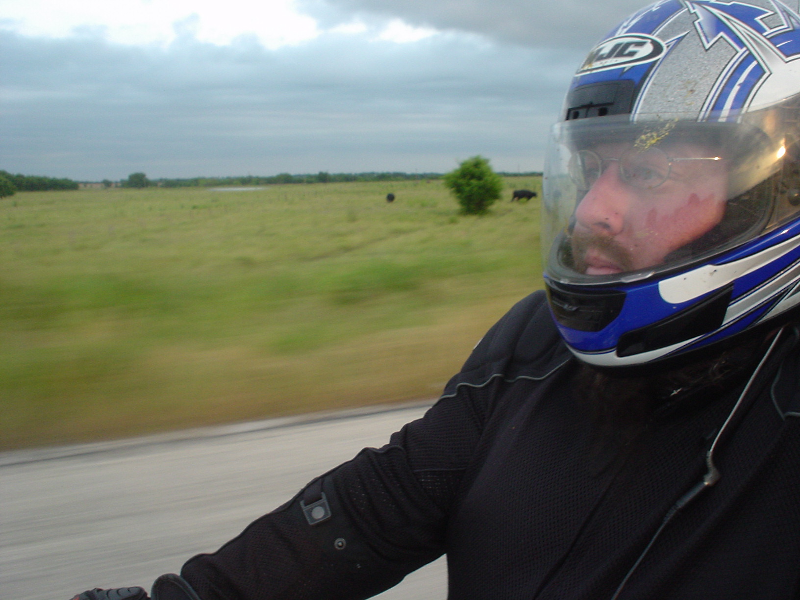
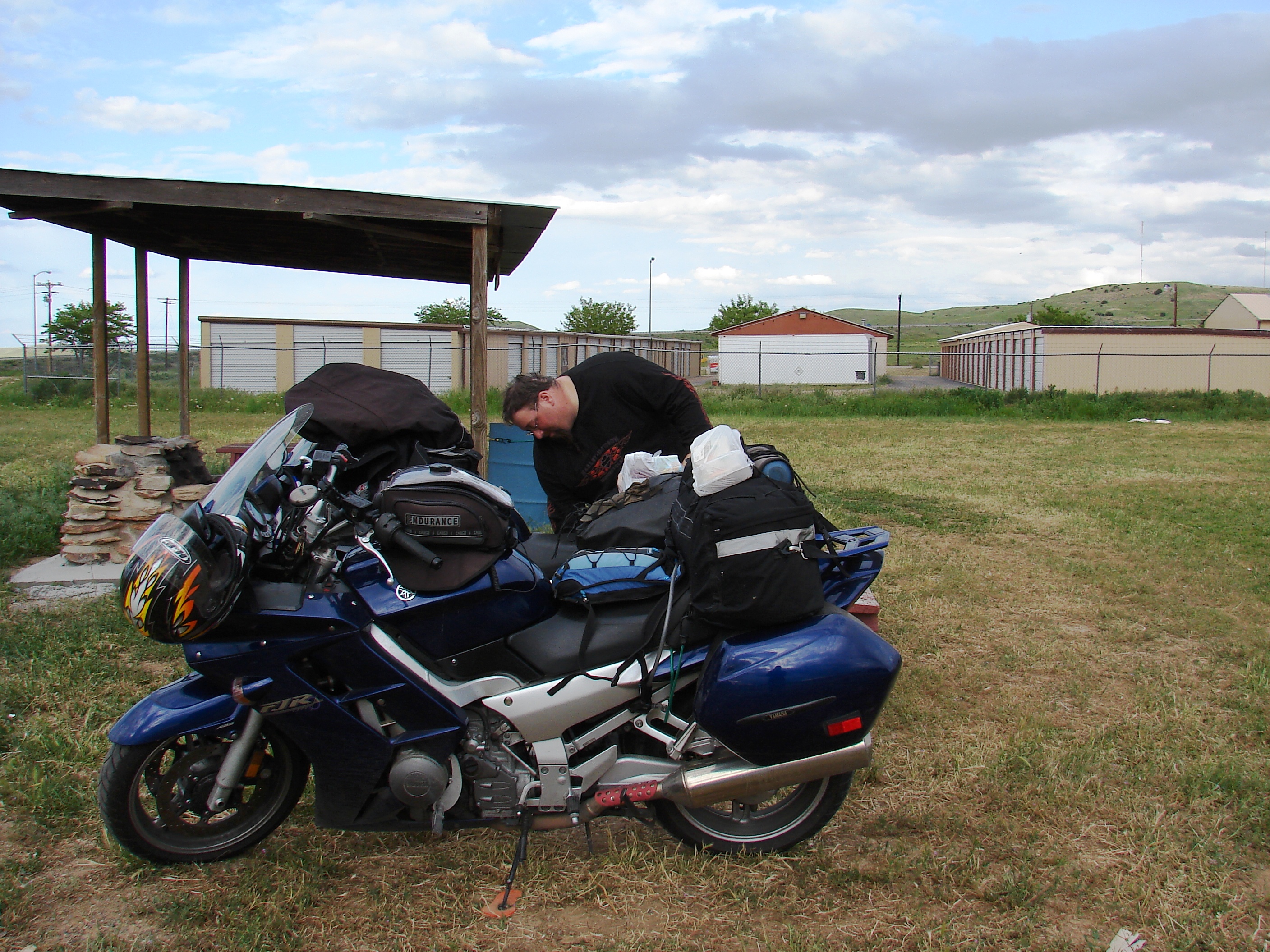
A thousand miles of dirt road tends to toughen you up a little bit.
Look! A bear!
Seriously. Here’s the story: For the second time on our trip, we saw a black bear cruising around next to the road. Another car had also stopped to take pictures, but we weren’t fast enough – he slipped back into the woods before we got the picture. I hollered back to Mike in my best redneck drawl, “Hey, Baby! Ya’ll want me to run into them woods and flush ‘im out sos you can git yer picture?” The guy in the car looked simultaneously disturbed, repulsed, and almost… hopeful. I don’t think I’d laughed as hard since we saw the giant mutant hopping beaver by Boya Lake.

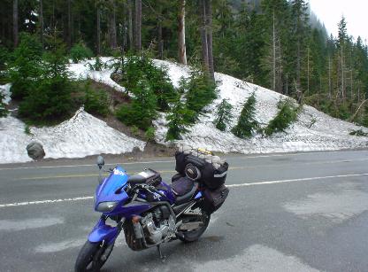
Camping in Mt. Rainier National Park in Washington.
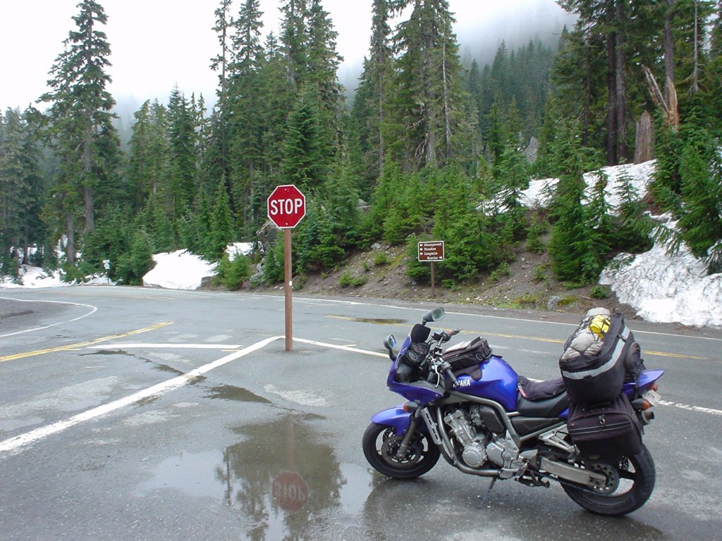

I like these two pictures. The one to the right is me at a stop sign on Mount Rainier on the way back from our honeymoon, and the picture on the left is me at the same intersection in June 2004 as I returned from a solo trip around the U.S. and Canada. Check out all that snow!! What a difference a year and a month makes!

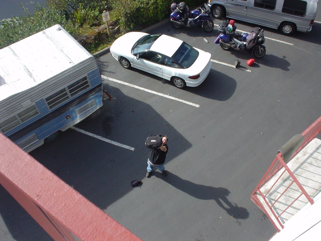

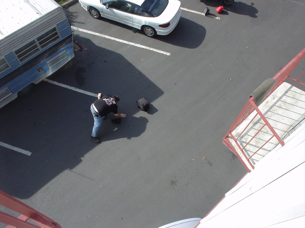
We like to call this little series, “Why throwing your luggage off a third story hotel balcony to someone waiting in the parking lot may not be as good an idea as it first seems.” Don’t worry, ladies and gentlemen – he’s a trained professional. He limped away with only minor injuries.

We were like kids in a… well,… A Cheese Factory.
Gnomad vs. Black Bear 
At least ONE of us got close to a bear.
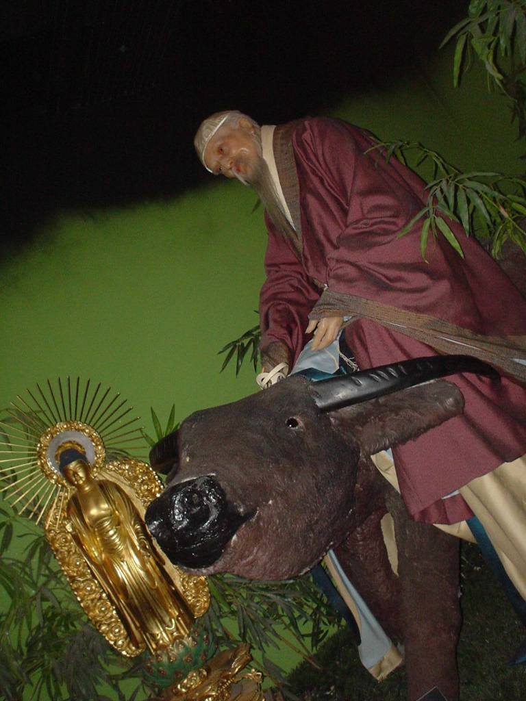
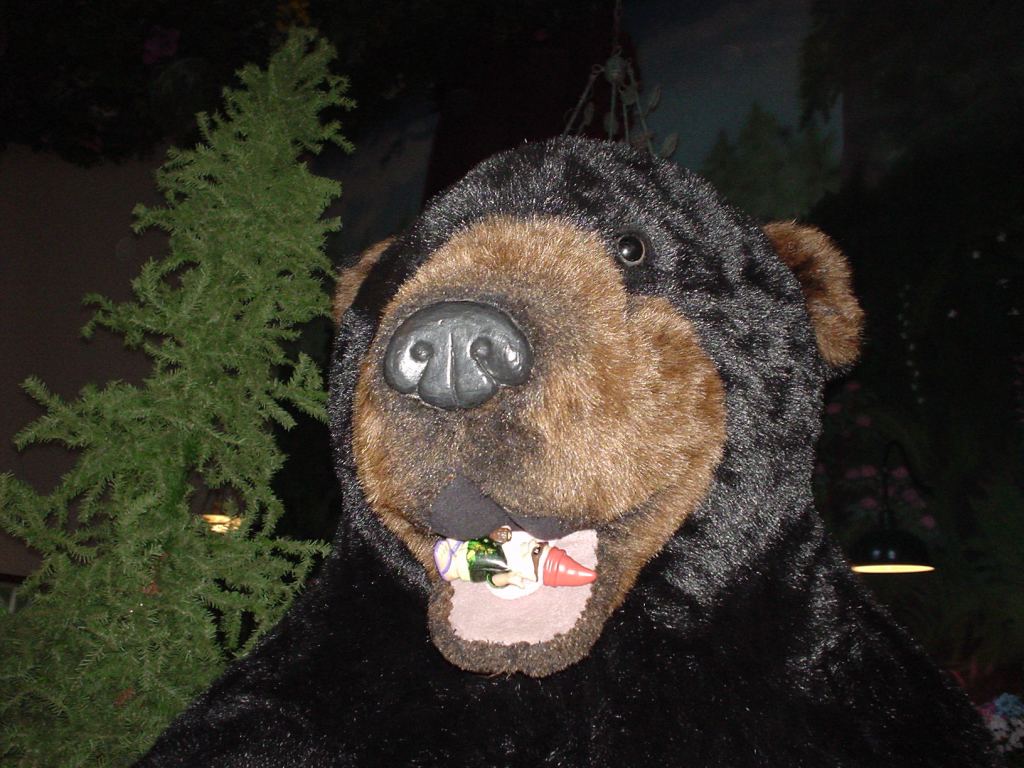
…And then we saw this guy riding his water buffalo. (Just kidding – this was the San Francisco Wax Museum.)
Gees, Mike. Can’t you stay out of trouble for five minutes?!?
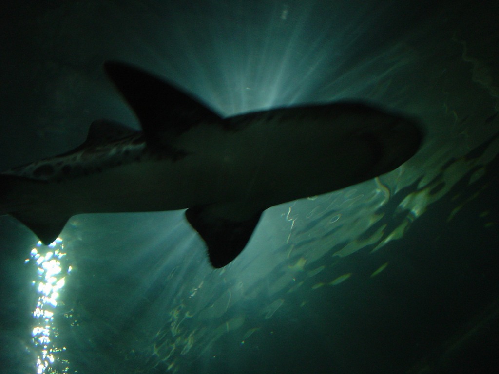
A shark swims above us in the underwater walkway of the
San Francisco Aquarium.
Gnomad vs. Gorilla
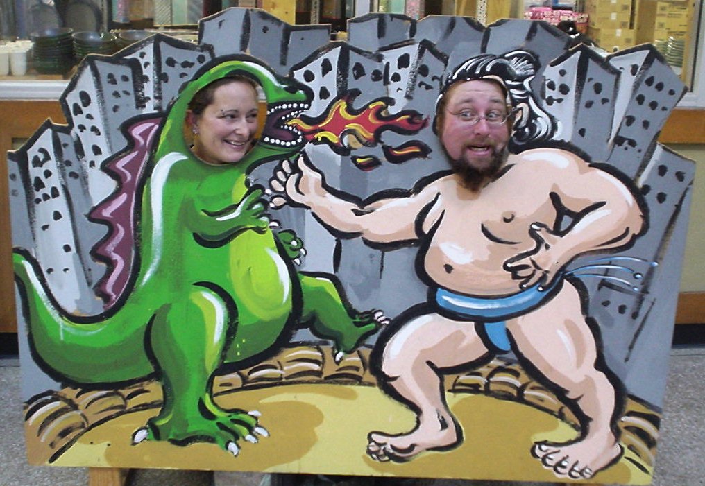
I know we’ve said this before, but this time I mean it – this may actually be the absolute best picture we took on our entire trip. I mean, really. It’s hard to go wrong with Sumike vs. Wenzilla.
After a few days unwinding in San Francisco, we finally made the last short hop home to Pismo Beach. It was bittersweet; once you’re that close to home, it’s always nice to sleep in your own bed, scritch your own dog and wear some clean clothes. Especially if you’re Mike. Me, on the other hand – I told Mike I was going to keep on going to Tierra del Fuego. He wished me Godspeed and said he would send me text messages with the weather reports from his Official Command Post on the couch in front of the TV, as long as I didn’t expect updates before 11am. OK, I agreed to pass on Tierra del Fuego for now, but not for long. My goal was to ride to Inuvik before I turned 30. By the time I’m 40, I vow to have Tierra del Fuego securely under my belt.* And between now and then… Who knows? When adventure calls, I listen!
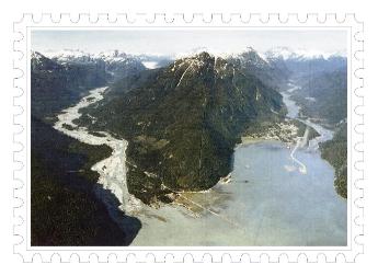
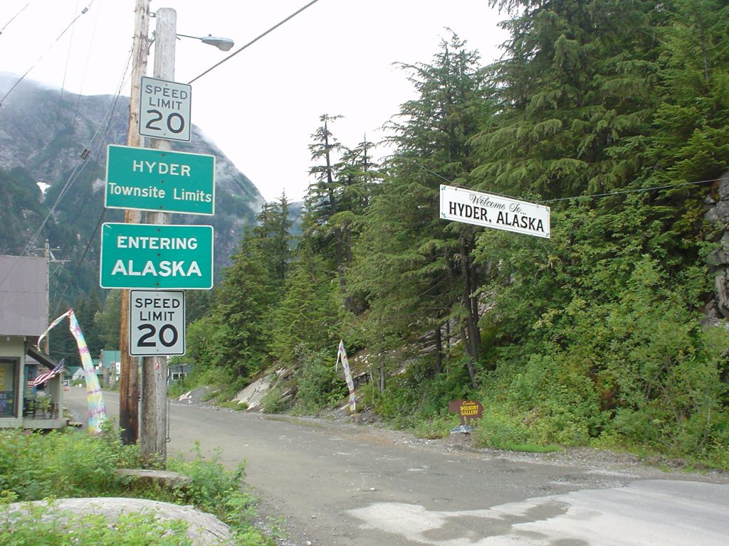
Thank you so much to everyone who supported us through our trip and shared in our adventure with us. Creating this website is very time consuming and we just didn’t have time or space for everything we would have liked to include. Like the huge Hell’s Angels raid in Inuvik. Or when we had to backtrack a hundred miles because Mike left his wallet in Hyder. Or standing up to a bully backwater cop trying to give us unearned citations. Or precise details on the giant mutant hopping beaver. Thanks to everyone who has pumped us for information on these neglected tales, and everyone who has emailed us with their own stories of adventure. Because of all of you, our journey will never really come to an end.

*2019 Post Script: OK, “not for long” actually became “too long”, but I’ve only missed my goal by a couple years. That’s tolerable; the interceding adventures have been beyond all expectations, not the least of which is this adorable little adventure right here. Like I said, I hope to start putting together some new #ThrowBackTravels on adventures like our Nova Scotia trip or the time a stranger broke into a motorcycle shop for me. Long story. Maybe I’ll write about it someday. 😉 In the meantime, follow along with Third Wheel Adventures to see what happens next!